
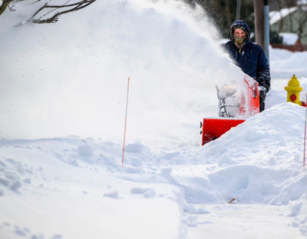
The Lehigh Valley was digging out Monday morning after a weekend storm brought a record amount of snow to the area ahead of a prolonged period of dangerous cold.
Three people in Lehigh County died from shoveling and snow-removal activity, according to Coroner Daniel A. Buglio. He said they were between the ages of 60 and 84, and were doing snow clean-up when they had a medical emergency. Their deaths were deemed natural.
“I remind the public to use caution when shoveling snow, take frequent breaks, stay hydrated, avoid overexertion and seek assistance when possible — especially individuals with a history of heart disease or other medical concerns,” he said.
The National Weather Service in Mount Holly, New Jersey, estimated the Lehigh Valley would get 12 to 18 inches of snow from the storm that started early Sunday morning and continued through the day. Its forecast largely played out during the storm.
The official recording location for the weather service office is Lehigh Valley International Airport, which recorded 11.8 inches of snowfall. That total broke the single-day snowfall record for Jan. 25, which was set in 1988, at 10.4 inches. It was the biggest snowstorm since February 2021, when a storm brought more than 2 feet of snow to the area.
While nowhere in the Lehigh Valley reached 18 inches, some areas, such as Bushkill Township, North Catasauqua and Germansville in Heidelberg Township, recorded more than 14 inches of snow, according to weather service data.
The record snowfall prompted closures of Lehigh and Northampton county offices, courts and school districts. LVIA closed for air traffic during the storm, reopening Monday morning.
LANTA’s bus service was canceled Monday. LANtaBus will operate on snow emergency routing on Tuesday; LANtaVan will operate Americans with Disabilities Act and dialysis trips only. LANtaFlex service is canceled, as are all Carbon Transit services, including CT Bus, CT Flex and CT Shared-Ride.
Snow emergencies declared by Lehigh Valley municipalities stretched well into the day Monday as crews worked to clear streets. Allentown lifted its emergency at noon; Bethlehem’s remained in effect until 5 p.m.
In Lehigh County, there were no major incidents reported from the storm, according to the county executive’s office. Reports showed that the public followed instructions and stayed off the roads, chief of staff Hillary Kleinz said.
In Northampton County, the 911 call volume was below average Saturday night to midday Monday, according to county spokesperson Jessica Berger, who noted that county residents clearly headed the warnings and stayed home.
Vehicle restrictions put in place on area roads were lifted late Monday morning.
After Sunday’s storm, 25.8 inches of snow have fallen this winter in the Lehigh Valley, already more than the region had the last two winters. With several weeks left in the winter season, there is still plenty of time for more snow to fall.
❄️ Here are some stats regarding Sunday’s snow storm.
For Philadelphia and Wilmington, Sunday’s snow storm was the biggest single snowfall event since the January 2016 blizzard.
Allentown, Philadelphia, and Reading broke their daily snowfall record for January 25th. (1/2) pic.twitter.com/wPxrIMu436
— NWS Mount Holly (@NWS_MountHolly) January 26, 2026
Meteorologists with the local weather service wrote Monday in their daily forecast discussion that they are monitoring a possible coastal storm late Saturday into Sunday, but confidence is very low in what, if anything, might happen.
The most immediate concerns, forecasters said, is the prolonged stretch of dangerous and potentially record cold over the next several days. The Lehigh Valley will be under a cold weather advisory 7 p.m. Monday to 10 a.m. Wednesday.
Very cold wind chills between 5 and 10 below zero are expected, and forecasters said it could be even colder later in the week. A minimum wind chill of minus 14 is expected Friday in the Allentown area. Lows are going to be in the single digits, and highs will be in the 20s and teens throughout the week.
“Overall, it is exceedingly rare to get this combination of length and magnitude of an arctic air mass and it should be taken seriously for those who have to venture out in the cold for extended periods of time,” forecasters said.
Here is the extended forecast from the National Weather Service:
Tuesday: Increasing clouds, with a high near 19. Wind chill values as low as minus 8. Southwest wind 5 to 10 mph, with gusts as high as 20 mph.
Tuesday night: Mostly clear, with a low around 2. Wind chill values as low as minus 7. West wind around 5 mph.
Wednesday: Mostly sunny, with a high near 19. West wind around 5 mph.
Wednesday night: Partly cloudy, with a low around minus 2.
Thursday: Sunny, with a high near 18.
Thursday night: Mostly clear, with a low around minus 3.
Friday: Mostly sunny, with a high near 16.
Friday night: Mostly clear, with a low around 1.
Saturday: Mostly sunny, with a high near 24.
Saturday night: Mostly clear, with a low around 4.
Sunday: Sunny, with a high near 27.