
HOUSTON — After days of record warmth, huge changes are coming to Southeast Texas tonight as a powerful cold front arrives across the area. Temperatures will drop quickly before midnight, from the 70s into the 40s with a thin line of gusty showers. Winds will whip overnight, gusting over 45 mph at times, especially at the coast.
Wind gusts will be highest overnight behind the initial push of cold air with the front arriving. However, gusty conditions will stick around through Monday with sustained winds around 20 to 30 mph and gusts over 40 to 45 mph, especially at the coast. Remember to secure any Christmas decorations or loose objects to keep them from blowing away. A wind advisory is in effect through Monday.
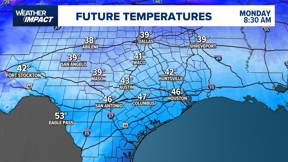
The coldest air settles in Tuesday before temperatures slowly moderate through midweek:
For the next few days, temperatures will feel winter-like across the area. A light freeze is possible north of the city Tuesday night with widespread 30 degree temperatures expected. New Year’s Eve/Day both look good and temperatures will start to moderate. In fact, by Friday, 80 degree weather is expected to briefly return before highs settle back into the 70s next weekend.
Harris County (including Houston, Pasadena, Baytown), Fort Bend County (Richmond, Sugar Land, Missouri City), Montgomery County (Conroe, The Woodlands), Brazoria County (Angleton, Pearland, Alvin, Lake Jackson), Galveston County (Galveston, League City, Texas City), Liberty County (Liberty, Cleveland, Dayton), Walker County (Huntsville, New Waverly), Waller County (Hempstead, Prairie View, Waller), Polk County (Livingston, Corrigan), Chambers County (Anahuac, Mont Belvieu, Winnie), Wharton County (Wharton, El Campo), Washington County (Brenham), Matagorda County (Bay City, Palacios), Grimes County (Anderson, Navasota), Austin County (Bellville, Sealy), Colorado County (Columbus, Eagle Lake, Weimar), Trinity County (Groveton, Trinity).