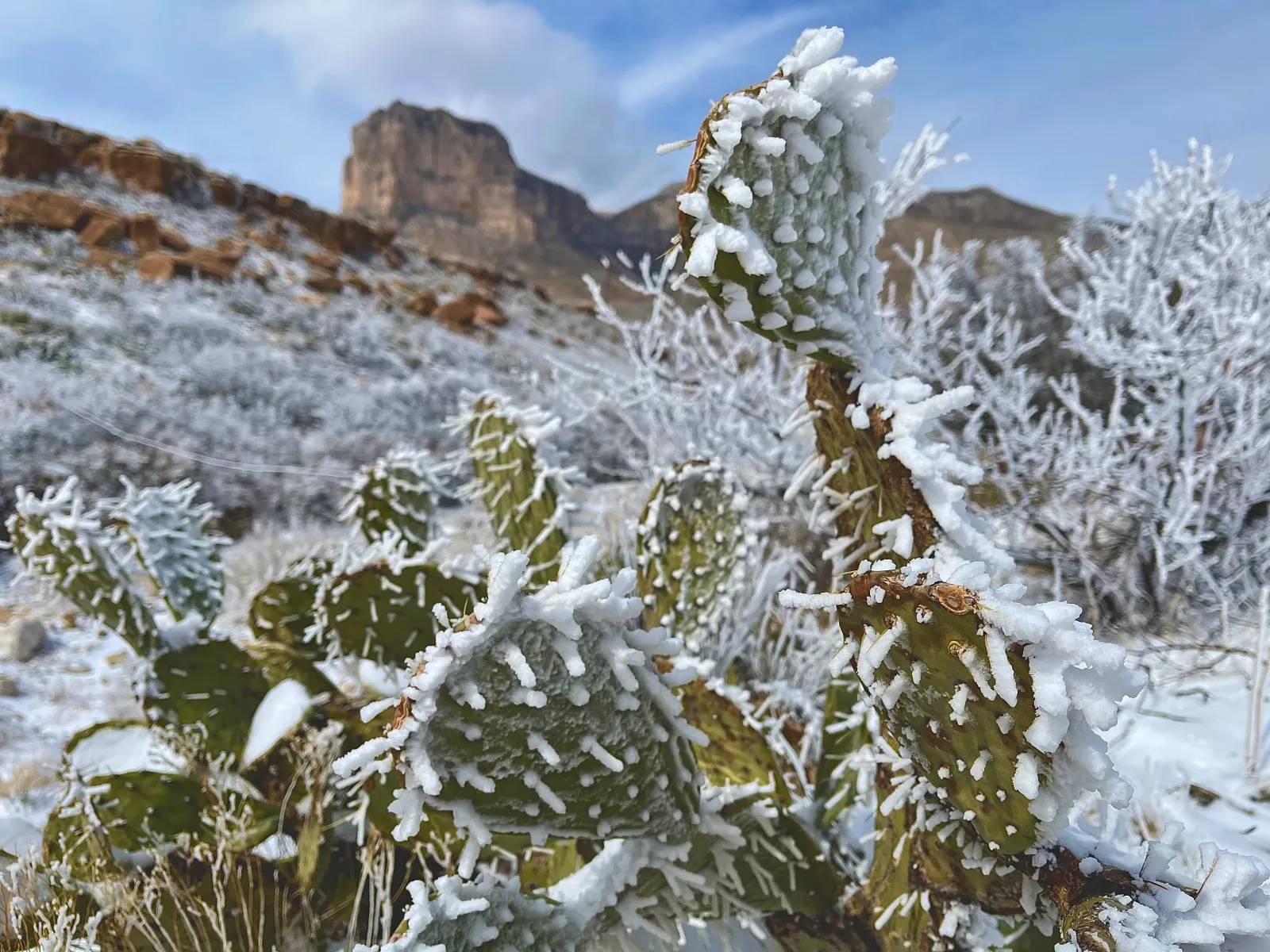
Much of Texas has experienced above-normal temperatures since the holidays, but National Weather Service (NWS) meteorologists warn that cold air could bring temperatures back to more typical levels for this time of year, with snow possible, as well.
The forecast comes after Texas experienced an abnormally warm Christmas weekend. Temperatures usually reach their lowest levels in Texas in January, and although historic surges of cold air have created threatening conditions for the state in years past, temperatures have recently been above normal in Texas and much of the rest of the United States.
Above-average temperatures are set to persist through midweek, but by Thursday, Texans can expect a change to the weather pattern. A cold front will move in from the northwest, the NWS office in Amarillo said in its long-term forecast, dropping temperatures and increasing winds.

“Modest moisture pooled behind the front combined with near/sub freezing temperatures could be enough to allow areas of snow or a rain-snow mix to develop through the day Friday, favoring the Oklahoma and northern Texas Panhandle at this time,” NWS Amarillo said in the forecast.
“Any potential amounts are still up in the air, but probabilistic and ensemble outputs favor lighter snow amounts at this time, which makes sense considering the very marginal temperature profiles being forecast. Any shifts in the systems track or timing could greatly impact this forecast, along with temperature profiles needed for snow to develop.”
Although South Texas rarely sees snow, it’s not unusual for parts of North Texas and the Texas Panhandle to experience winter weather conditions. The average snowfall for the winter season to date in Amarillo is 7.6 inches, but NWS Amarillo meteorologist Christian Rangel told Newsweek that the area has only seen .2 inches, which fell from one snow event on December 3.
“[Snowfall has] been low because of a prevailing weather pattern that’s been over a large part of the nation this past month and into January,” Rangel said. “High pressure sits over a large area of the U.S., so it’s going to keep temperatures warmer and decrease precipitation chances. Even if we do get precipitation, so far it’s only been in the form of rain.”
As of Monday afternoon, there are no winter weather-related watches or warnings in place for Texas, though meteorologists could issue official alerts as snow approaches.
Changing weather is expected elsewhere in the state. The NWS office in Houston warned that rain could spread across southeast Texas on Thursday and Friday, with windy conditions and cooler temperatures likely to follow. Temperatures in the Houston area could dip this coming weekend, the Chron reported, although it won’t be severe.
Looking further out, the NWS Climate Prediction Center anticipates a return to above-average temperatures for the Texas panhandle from January 10 to January 14, with equal chances of above- or below-average temperatures for the southern half of the state during the same period.
The eight- to 10-day outlook from the NWS Climate Prediction Center anticipates a small chance of above-average temperatures for the entire state.

