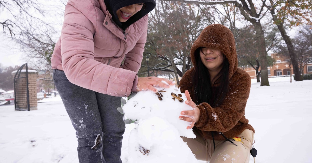
After a toasty start to the winter season, temperatures have drifted down to more normal levels in North Texas. But winter precipitation has still evaded us.
The Dallas-Fort Worth area hasn’t even seen temperatures below 35 degrees so far this January. Six days dipped below freezing in December, but the month received abnormally low levels of precipitation, keeping any winter weather from forming.
Since 1940, when the National Weather Service’s Fort Worth office first started keeping snowfall data, the average date of the first snow has been Jan. 15. It’s a benchmark we’re almost guaranteed to miss, since neither freezing temperatures nor precipitation are in the forecast for Thursday.
But snow could still be on the horizon.
D-FW Weather Wise
Related

Since 2000, there have been nine winters where the first snow of the season arrived after that benchmark. The latest snow in recent memory was in 2008, when an inch of snow fell on March 3.
Those 2008 flurries are one of only 5 times throughout the weather record that the first snow didn’t arrive until March. The absolute latest occurrence ever was in 1970, when the first snow of the winter arrived on March 20.
It’s not clear when snow could grace our skies this year. There’s no chance of precipitation in the seven-day forecast, and February forecasts from the Climate Prediction Center have not been recently updated.
Related

It is also possible that flurries will skip North Texas this year. Snow has been reported every winter for the last six years, but didn’t fall in the winters of 2017-2018 or 2018-2019.
In the short term, freezing temperatures are expected one night this weekend, so the ground may at least get a little frost.

