
Freezing rain threat, what you need to know:
HOUSTON – I am tracking an impactful winter weather situation this weekend in Houston, with freezing rain possible in the area. Freezing rain is the most dangerous form of winter precipitation. Even a thin layer of ice, less than a tenth of an inch, can create hazardous driving conditions and lead to power outages if it collects on trees near power lines.
But timing is key! The freezing air, less than 32°, and precipitation have to match up. If it doesn’t, we’ll simply get a cold rain. The timing for now is Saturday afternoon into Saturday night. Below in pink is the freezing rain forecast.
For now the best chance of freezing rain is just north of Houston (Copyright 2026 by KPRC Click2Houston – All rights reserved.)How the forecast evolves:
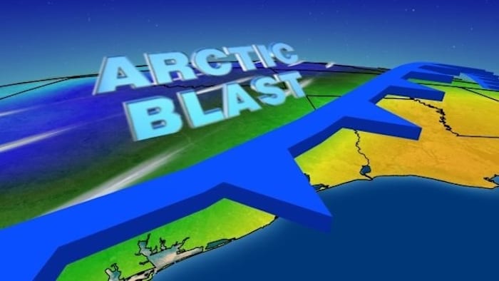
The cold front arrives Friday with the arctic air moving in some time Saturday. The temperatures tumble from highs in the 70s Friday to highs in the lower-40s, and even upper 30s by Sunday. Morning lows drop into the 20s and 30s. These will be the coldest temperatures we’ve seen so far this season.
What to expect through Monday of next week (Copyright 2026 by KPRC Click2Houston – All rights reserved.)Tracking the freeze line:
The freeze line below in green separates the below freezing temperatures and above. This line simply needs to be a little farther south and if that happens, watch out Houston, we’ve got problems. On top of this, wind chills will be in the teens, so it will feel bitterly cold.
North of this line is winter precipitation, south is rain (Copyright 2026 by KPRC Click2Houston – All rights reserved.)Why no snow is expected:
So why no snow? The upper levels of the atmosphere are actually quite warm this weekend. For snow, you need the entire column of air to be below freezing, and that’s just not the case with this system. Below is how this looks graphically. For freezing rain there is a shallow column of freezing temperatures on the ground but the air above it is above freezing. When this rain lands, it freezes on impact.
This shows what’s needed for different types of precipitation to fall. (WKMG)
How we build a winter forecast:
Winter weather forecasting is all about timing and patience. the forecast process starts about six to eight days out, when we begin watching for weather patterns that could bring wintry precipitation to the area. About four to five days ahead, I’ll look for consistency in the data to determine if the setup makes sense. More specifics are then put into the forecast. This is where we are now.
As the weekend approaches, details come into sharper focus. Two to three days before the potential event, I will pin down precipitation type, timing, and possible accumulation. Once the forecast is just a day away, calls to action are issued, highlighting exact timing, areas of highest risk, and overall impacts.
The KPRC 2 Weather Team will be with you all week, walking you through the changes, because this forecast will change. And if freezing rain does become more likely, that’s something we’ll take very seriously and communicate clearly.
Here is the video I put together Monday night, click to watch.
More Stories Like This In Our Email Newsletter
Copyright 2026 by KPRC Click2Houston – All rights reserved.