

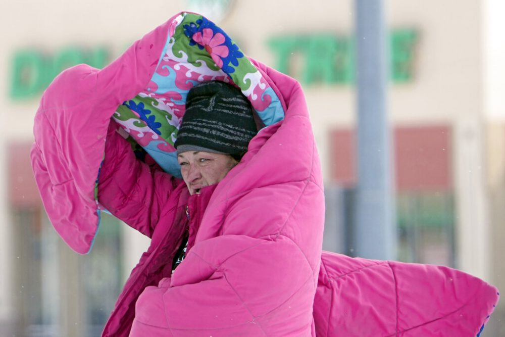
AP Photo/David J. Phillip
A woman covers her head with a blanket as she walks outside in freezing temperatures Monday, Feb. 15, 2021., in Houston.
Both a winter storm warning and extreme cold warning are set to go into effect for the greater Houston area on Saturday evening as the forecast calls for sub-freezing temperatures and negative wind chills north of Interstate 10, according to the National Weather Service.
From 6 p.m. Saturday to 6 p.m. Sunday, a wide swath of Southeast Texas will be under a winter storm warning. That means a heavy mix of rain and icy precipitation is expected, with the weather service noting in a Friday afternoon advisory that total ice accumulations up to two-tenths of an inch are expected. The winter storm warning will apply to Harris, Fort Bend, Austin, Colorado, Liberty, Waller and Wharton counties.
All of those counties, along with Galveston and Montgomery counties and much of Southeast Texas and South Central Texas, will be under an extreme cold warning from 6 p.m. Saturday through noon Monday, according to the weather service. Wind chills as low as negative-5 degrees are forecasted for inland areas, with temperatures as low as 10 degrees in coastal areas.
Sign up for the Hello, Houston! daily newsletter to get local reports like this delivered directly to your inbox.
RELATED: Here’s how Houston-area officials are preparing for winter weather threat
Temperatures will start to fall on Saturday evening, bringing a forecasted low of 31 degrees in Houston on Saturday night. Sunday and Monday night are both expected to have lows of 20 degrees, according to the weather service. Areas north of I-10 have the potential for even lower temperatures.
Eric Berger, a Houston meteorologist and editor of Space City Weather, said during a Friday appearance on Houston Matters that the arrival of the coldest temperatures has been pushed to later in the weekend compared to earlier forecasts.
“We’re pretty confident that getting around town through Saturday evening should be more or less fine,” Berger said. “Really, the bigger issue is Sunday morning. … Because it’s possible that some of that rain that falls Sunday morning will be freezing, especially for areas like Northwest Harris County, Waller County, Austin County and Montgomery County.”
Berger said part of the Houston metro area could get above freezing on Sunday afternoon, but there is still the potential for a refreeze heading into Monday.
RELATED: Houston-area school districts announce Monday closures ahead of incoming winter storm
“There will be other areas, certainly more inland, north of I-10 … further north, where the roads just remain icy because it just doesn’t get hot,” he said. “Other parts of the region where it gets a little warmer will have a chance to dry out. … You’ve always got the caveat of shadowed areas, bridges and overpasses, which are more quick to freeze.”
NWS Houston/Galveston
A Saturday forecast from the National Weather Service Houston/Galveston Office, as of Friday.
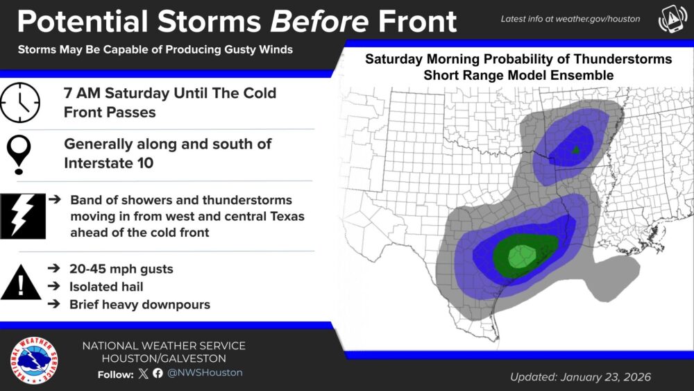
Katie Landry-Guyton, a hydrologist for the National Weather Service’s Houston/Galveston office, said Friday morning that precipitation is forecast for Saturday and Sunday.
RELATED: CenterPoint activates emergency operations center ahead of weekend freeze
“We have a funnel system that’s going to be working its way across the state that’s going to be bringing some rain and some isolated thunderstorms,” Landry-Guyton said. “So for Houston, we are expecting basically through Saturday morning that could have isolated hail, brief heavy downpours, and probably gusts [of] 20 to 45 mph. Once that line passes through, we’re going to have layering showers throughout the day tomorrow and into the overnight hours.”