
The much-anticipated winter storm has reached Dallas-Fort Worth, with heavier precipitation expected to hit the region Saturday night.
DFW International Airport didn’t reach freezing until 5 a.m. Saturday morning, according to the National Weather Service’s Fort Worth office, several hours later than the midnight threshold originally forecast. But the temperature has continued to drop since, down to 21 degrees by 12:30 p.m.
The storm is far from over, though. Forecasters expect more precipitation tonight that could make travel difficult over the next several days. Through Monday, the temperature is not expected to climb above 30 degrees.
The somewhat delayed arrival of freezing temperatures, as well as a slightly unusual pattern in the atmosphere, helped limit the ice accumulation from freezing rain overnight — but more is still possible.
Breaking News
Related

Freezing rain forms as snow in the upper atmosphere, before passing through a large layer of warmer air and refreezing as ice just as it hits the ground. Meteorologist Miles Langfeld said the warm layer of air in the atmosphere was still present this morning, but it was cold enough below that the snow formed underneath it.
“Very fun little weather phenomenon right there, doesn’t happen very often,” Langfeld said.
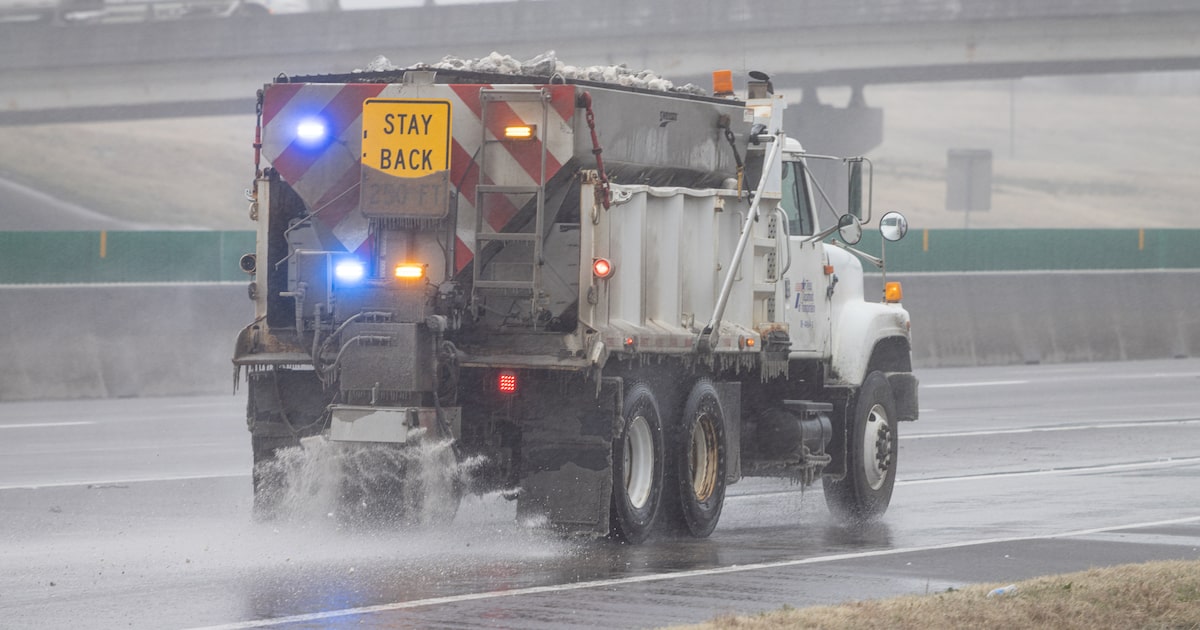
As of noon, half an inch of ice and sleet had been reported at DFW Airport. More scattered sleet, snow and ice are expected for the afternoon, before widespread precipitation is predicted to return Saturday night.
Sleet is expected to be the main form of precipitation, but a transition to snow is expected sometime Sunday. Meteorologists said there was still some uncertainty on the exact timing. Overall, one to three inches of sleet and snow are forecast for the majority of Dallas-Fort Worth throughout the winter storm.
Related

Sunday could also bring some lake effect snow. This type of snow forms when cold air moves over a warmer body of water, pulling up moisture and heat. That water then freezes in the atmosphere and falls back down as snow. The weather service is expecting the lake effect snow to be highly localized, to the south and southeast of these lakes: Lake Texoma, Lake Lewisville, Lake Lavon, Lake Ray Hubbard, Joel Pool Lake and Lake Granbury.
That accumulation of winter precipitation is still likely to cause significant travel impacts, even after the winter storm ends Sunday afternoon. Several school districts have canceled school for Monday, including Fort Worth and Dallas ISDs, because the extended, extreme cold will make melting unlikely.
Saturday, Sunday and Monday nights all have “life-threateningly” cold temperatures, putting travelers and people experiencing homelessness at particular risk. Several organizations are operating shelters over the weekend and doing outreach to ensure people take advantage of opportunities to stay warm. For a complete list of shelters, check here.
The temperature isn’t expected to rise above freezing until Tuesday afternoon, and even then, meteorologist Monique Sellers said the progress will be slow. Lows are expected to fall back down to the 20s on Tuesday and Wednesday nights.
“We really shouldn’t expect any sort of rapid improvement,” Sellers said.