
FORECAST HIGHLIGHTS
WEDNESDAY: Another widespread hard freeze
NEXT FRONT: Arrives Friday, cold over the weekend
WEEKEND: Morning hard freezes, highs in the 40s
ANY PRECIP?: This front will be precip-free
FORECAST
TODAY
Clouds have cleared across South Central Texas, setting the stage for another very cold start. Morning temperatures will dip into the upper teens and 20s, with light winds keeping wind chills only about five degrees below the actual temperature.
Starting chilly, but ending near 60° (Copyright KSAT-12 2026 – All Rights Reserved)
Despite the frigid morning, sunshine will help temperatures rebound into the upper 40s north and low 60s south this afternoon.
ARTIC AIR RETURNS
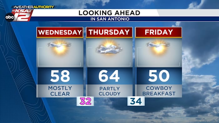
Thursday brings the warmest temperatures of the week, with highs in the upper 50s to upper 60s. However, a strong cold front arrives late in the day, sending temperatures tumbling once again.
Another front brings reinforcing shot of cold air (Copyright KSAT-12 2026 – All Rights Reserved)
While the front is dry, winds will increase behind it. Lows Friday morning fall to near or below freezing. Afternoon highs stay cool, ranging from the upper 40s to mid‑50s, with a few low 60s near the Rio Grande.
NEXT WEEK
A gradual warm‑up begins early next week as a ridge builds overhead. Some models suggest a passing disturbance may keep Monday slightly cooler, but overall temperatures trend upward. Another front may arrive mid‑week, bringing back low rain chances.
Extended Forecast (Copyright KSAT-12 2026 – All Rights Reserved)Daily Forecast
KSAT meteorologists keep you on top of the ever-changing South Texas weather.
QUICK WEATHER LINKS
Copyright 2026 by KSAT – All rights reserved.