
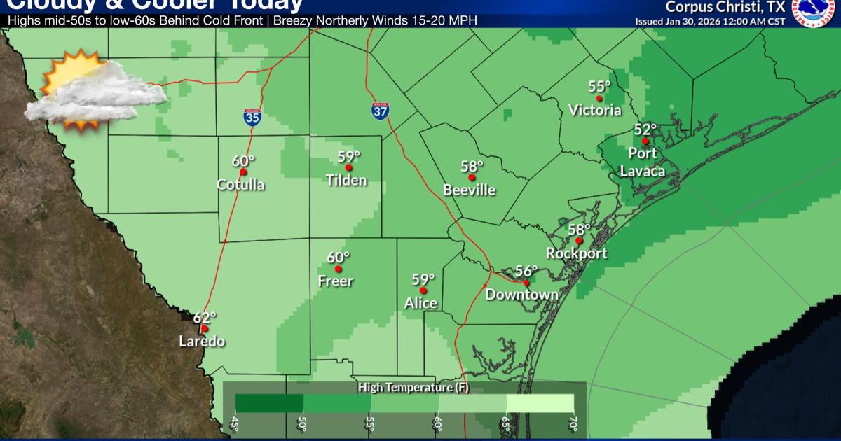
Cloudy and cooler conditions will settle in today behind a cold front that moved through the region early this morning.
High temperatures are expected to range from the mid-50s to the low 60s, accompanied by breezy north winds of 15 to 20 mph. No rain is expected as moisture levels remain well below normal.
Skies will clear tonight as winds become light and variable, allowing temperatures to drop sharply. Lows are forecast to fall near the mid to upper 30s across South Texas.
A Freeze Watch is in effect late Saturday night into Sunday morning, with temperatures expected to dip into the 26 to 32 degree range across inland areas. Although winds will be light, wind chill values could fall into the upper teens across the inland and into the mid-20s elsewhere. Residents are urged to protect people, pets, plants and pipes.
The coldest air associated with the front is expected early Sunday morning, with low temperatures ranging from the upper 20s to mid-30s. Wind chill values will make it feel below freezing across much of the region.
Temperatures will begin to rebound Sunday afternoon as onshore flow returns, leading to a warming trend into the middle of next week. Highs are expected to climb back into the 60s and 70s, with increasing moisture bringing low rain chances to the Coastal Plains Tuesday and Wednesday.