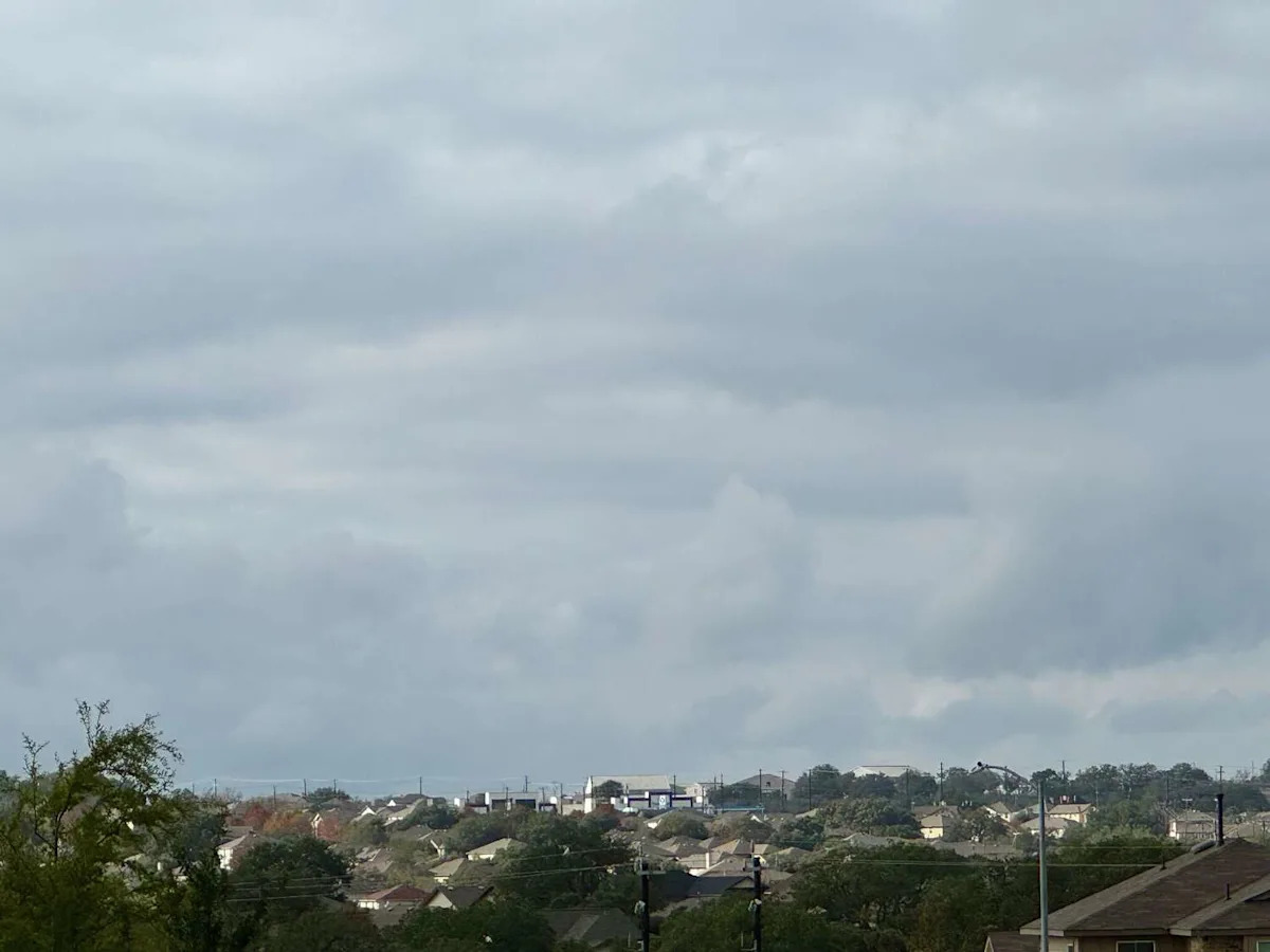
San Antonio Marie, Texas, can we get off this weather roller coaster already?
After below freezing temperatures crept back into the night Saturday, January 31 into the morning of Sunday, February 1, it looks like even with the sun out in full force, we could expect some more cold days ahead of a warming trend this week. The National Weather Service is reporting as the highs and lows in South Central Texas rise nearly 10 degrees or more across the region Monday, February 2, right before once again plummeting as the sun sets on Tuesday, February 3.
“[Sunday] will be not as cold as southwest winds develop under mostly sunny skies,” the NWS said. “The next week will be mostly dry with just a few showers along a weak cold front Tuesday. Most days after today will be warmer than normal.”
So what does this mean for San Antonio? Well, Tuesday will show highs in the low 70s before the 20 degree temperature drop that night as the cold front moves in overnight. and brings in a 10% chance of rain, according to the NWS. Despite a warm up ensuing through the day as the sun shines, wind gusts up to 20 miles per hour still keeps the day cool until the temperatures fall to the low 40s on the night of Wednesday, February 4. Some parts of the Texas Hill Country could even see lows just above freezing Wednesday night as well.
Thursday, February 5 looks to keep temperatures below the 70s throughout the day, until everyone heats back up next weekend during the day. High temperatures in the mid-70s are looking to be here in time for the San Antonio Stock Show and Rodeo to be in full swing, while the low temperatures look to settle between the 40s and 50s.
This article originally published at Cold front moving into Texas bringing chances of rain into forecast for San Antonio.

