
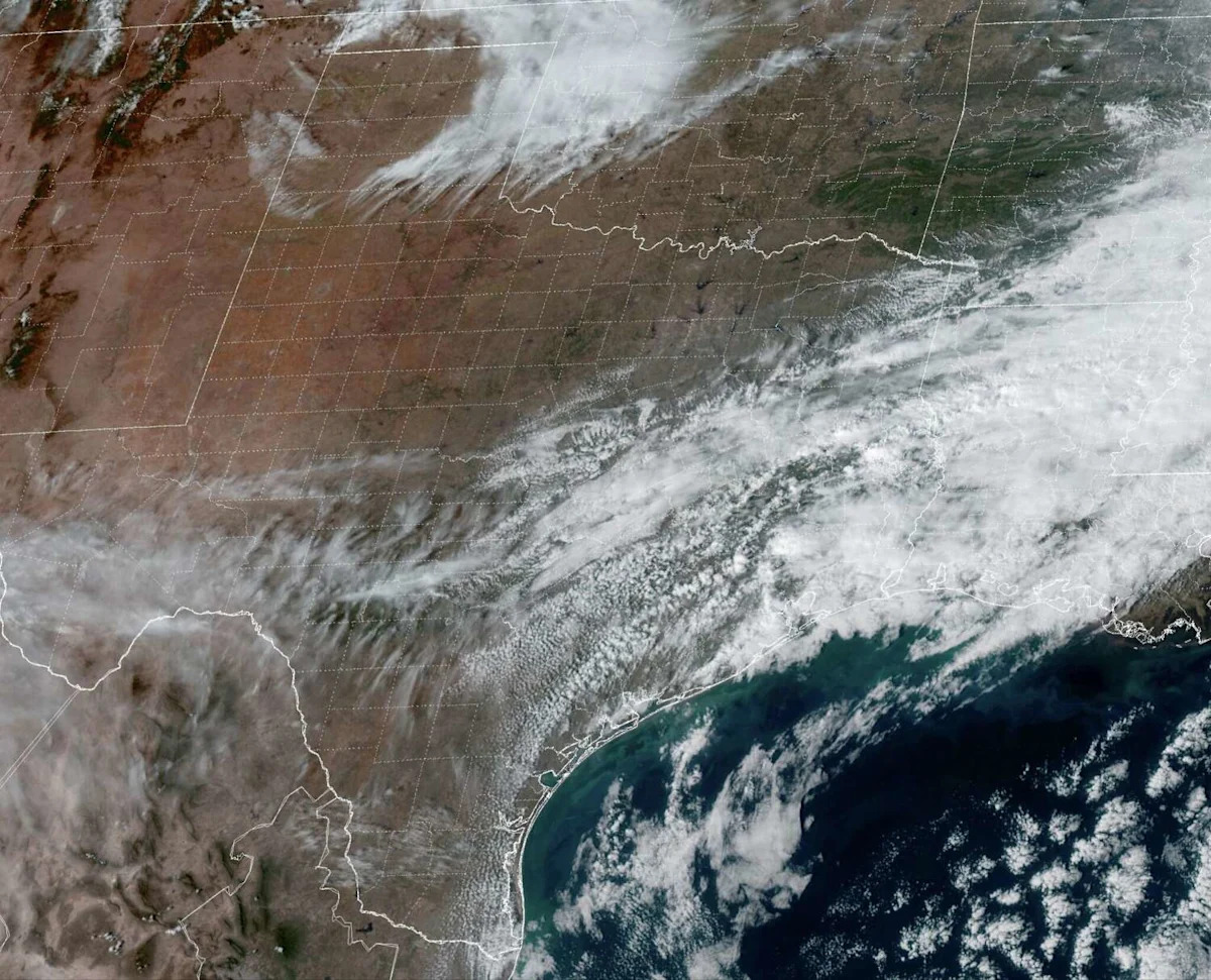
A weak cold front pushed through San Antonio on Tuesday, and while a significant drop in temperatures wasn’t immediately felt in South Texas, the front did bring a northerly wind shift, as well as much drier air.
Noticeably colder air will arrive Wednesday night, as winds continue to blow in from the north. South Texas temps will fall into the 30s, and a few spots could even experience a light freeze early Thursday. If you’re a fan of cold weather, get up early Thursday and enjoy the chill, because weather models show a large-scale shift is on the way – one that will bring an early taste of spring to much of the state.
Wednesday’s forecast
With a chilly, but not overly cold, start to the day, San Antonio temperatures are expected to sit in the upper 40s through much of the morning. Wind speeds will be quite gusty at 15 to 20 mph, resulting in wind chill values, or “feels like” temperatures, down into the lower 40s.
Under bright sunshine, temperatures will warm steadily throughout the day. However, gusty north winds will keep temps from rising too fast. San Antonio temperatures will reach the mid-50s by 10 a.m., topping out in the mid-60s by around 3 or 4 p.m, which would be near average afternoon temps for early February.
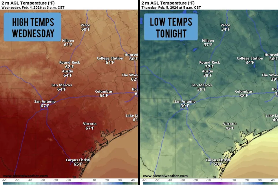
Shown are the expected afternoon high temps for Wednesday, left, as well as the potential overnight low temps Wednesday night. (Pivotal Weather)
Cold Wednesday night: Temperatures will fall relatively quickly during the evening, especially after sunset. Expect San Antonio temps to be in the mid-50s at 7 p.m., falling into the upper 40s by 9 p.m. Overnight temperatures are expected to fall into the upper 30s to near 40 degrees across the San Antonio metro area.
The Hill Country will be even colder. Areas such as Kerrville, Fredericksburg and Llano may experience a light freeze, with lows falling to 31 to 33 degrees. However, freezing temps would only last for a couple hours, so damage to plumbing is not expected.
Spring-like temps coming
After the cold start Thursday, afternoon temperatures will start a big upward trend, peaking once again in the mid-60s, before rising all the way to the mid-70s on Friday. Bright sunshine is expected throughout all of South Texas, with no chance of rain through the end of the week.
Temperatures will rise a few more degrees over the weekend, with highs expected to reach 77 or 78 degrees in San Antonio. Predawn temperatures will also be noticeably warmer, hovering in the upper 40s to low 50s each morning.
A weak atmospheric disturbance may result in more clouds and a slight chance of rain by Monday and Tuesday next week. However, San Antonio rain chances appear low, likely only around a 20% chance.
By the middle of next week, temperatures could reach the low 80s across much of South Texas, which would be about 15 degrees above average.
The trend of warmer weather is also expected to continue through the middle of the month. According to the Climate Prediction Center’s outlook for Feb. 11-18, San Antonio has a 72% chance of above-average temperatures, 25% chance of near-average temps, and just a 3% chance of below-average temperatures during that period.
This article originally published at South Texas temps to drop fast Wednesday night, light freeze possible in Hill Country.