
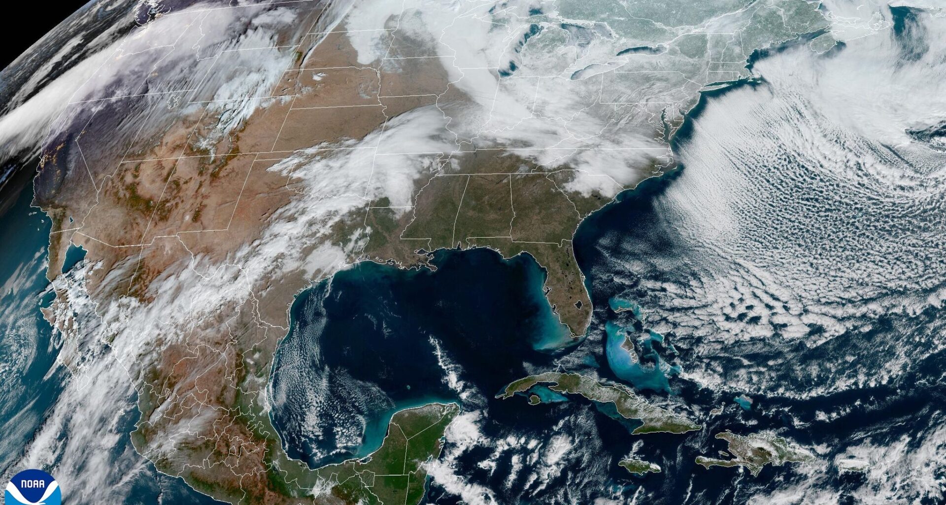
An upper-atmospheric system of low air pressure that has been lingering near Baja California will move east across northern Mexico and into Texas on Monday. This will lead to increasing cloudiness across Central Texas, but rain chances should hold off until midweek. While forecast models over the weekend differed about the timing of this next storm system, confidence is improving.
“Models/ensembles have shown a delaying trend in the passage of the upper-level trough, currently just west of Baja California. The consensus now shows a Tuesday night passage, though this could be pushed into early on Wednesday as some show,” the National Weather Service wrote in their forecast discussion on Sunday.
We’ll wake up to a mix of sun and clouds, paired with light winds and the potential for patchy fog, especially east of Interstate 35. Morning temps will settle into the mid-50s and upper 50s.
By around lunchtime, clouds may thin a bit, allowing for a little more sunshine to peek through. Temperatures will continue to surge, reaching high temps on either side of 80 degrees, well above the early February average of 65.
More clouds will stream in overnight Monday and into Tuesday with a mostly cloudy sky and even milder temperatures, with morning lows closer to what we typically see for daytime highs this time of year. Lows will range from the mid-50s in the Hill Country to the low 60s along and east of Interstate 35.
A few light showers may begin to show up around lunchtime on Tuesday and become more widespread by the late afternoon and evening. Not everyone will see a good rain chance but at least 30% to 40% of the region will see a tenth of an inch to a quarter-inch of rainfall.
Atmospheric instability, a key factor in generating storm clouds, will remain in check along with light winds, so we’re not anticipating any thunderstorms with this disturbance.
Some light showers might linger into early Wednesday before heading east of Austin by mid-morning. However, if the current forecast trends continue, then chances of rain may have to be extended a little more into Wednesday afternoon with the onset of rain a little later on Tuesday.
Because this storm system came across Texas from the southwest to the northeast, it lacked any significant cooling. In fact, we’ll see a warming trend begin on Wednesday as our skies clear from west to east in the afternoon. Morning lows will be in the upper 50s to near 60 degrees while afternoon highs climb into the upper 70s and low 80s.
Beyond Wednesday, high atmospheric pressure will briefly move into Texas, leading to dry and hot weather on Thursday. Austin’s afternoon temperatures will once again run about 15 to 20 degrees above normal, nearing our record high of 83 degrees set in 1951.
Another storm system arrives by Friday, bringing additional rain chances and higher rainfall totals through the weekend, while temperatures remain warm.