
February has been running unusually warm so far. Aside from the first day of the month, temperatures have consistently climbed above average, placing us on a pace to become a top 10 warmest February on record — and we’re barely at the midway point. The average daily temperature in February to date is about 60 degrees, which is more than five degrees higher than the climate-normal at this point in the month.
The hottest day yet came Monday, when highs reached 86 degrees, which was just one degree shy of the record of 87 degrees set in 1960 and again in 1962. We also tied a record high last Friday with 83 degrees, a mark originally set in 1925.
Top five warmest Februarys in Austin:
The sunshine, along with southerly winds, will help temperatures climb into the upper 70s to the lower 80s, rivaling record highs for Thursday. At Camp Mabry, the record is 83 degrees set in 1951, and the record at Austin-Bergstrom International Airport is 84 degrees set in 2017.
Clouds will increase overnight Thursday into Friday morning, with warm morning temperatures in the low 60s, which would be closer to our Feb. 13 average high of 66 degrees, and 20 degrees warmer than our average low of 45 degrees. South winds will continue to dominate under a mostly cloudy sky Friday afternoon. Temperatures will climb into the lower to mid-80s, again potentially rivaling records in Austin.
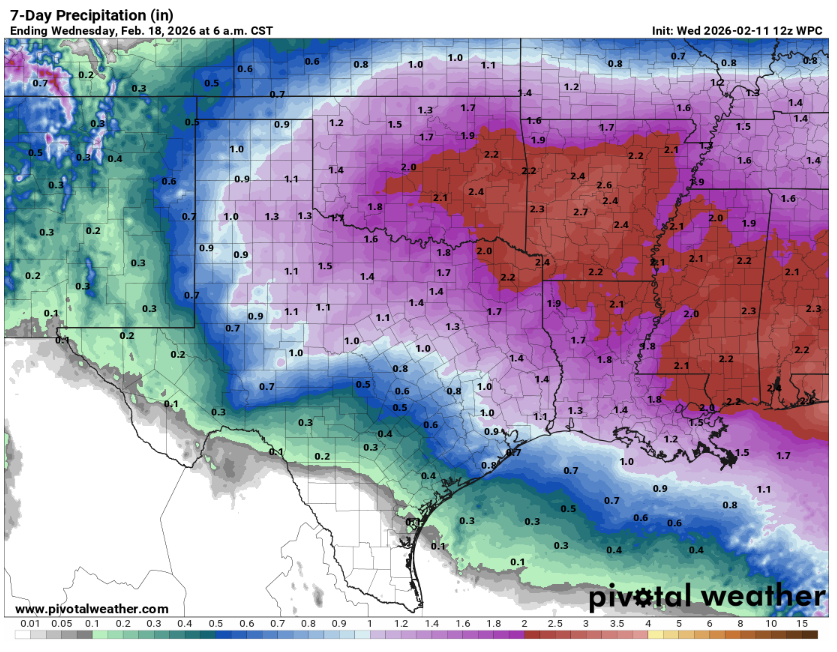
Our next rain-maker will enter the picture on Friday night with a few isolated showers before midnight and then become more widespread on Valentine’s Day.
The storm track is shifting into North Texas rather than South Texas, which means we will have a limiting factor on any drought-busting rainfall. In fact, the National Weather Service gives only a 20% to 30% chance that rainfall totals will top half an inch in Austin and areas north. However, we could still see a few stronger storms move into the region.
“Depending on the timing of the front Saturday, there could still be the potential for a few strong to severe storms, mainly in the eastern half of the area,” meteorologists at the National Weather Service wrote in their forecast discussion on Thursday. “Any showers or thunderstorms will be moving east of South-Central Texas by Saturday night with dry weather returning in the long term as ridging builds back over the area.”
Because this storm system is coming in from the Pacific, temperatures will stay warmer than normal through next week, and we have no freeze in sight. So, does that mean we’re done with winter? Not quite. On average, Austin’s last freeze happens around Feb. 15, but that doesn’t guarantee we won’t see another cold snap. Still, the latest two-week forecast from the weather service’s Climate Prediction Center has Texas under a warmer than normal weather pattern.