
LUBBOCK, Texas (KCBD) – If it feels more like April than February today, there’s a reason.
Highs on Thursday were about 20 degrees above normal.
A ridge of high pressure is parked overhead, which means sinking air and sunshine. At the same time, west-southwest winds are sliding down off higher terrain and warming as they compress.
That “downsloping” effect helped push afternoon highs into the mid 70s to low 80s.
Overnight, winds will ease and increasing cloud cover keeps temperatures mild, with Friday morning lows dipping into the mid to upper 40s.
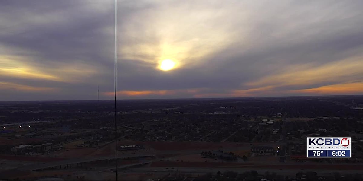
Friday temperatures warm as most of the area reaches the 70s under mostly cloudy skies.
Most daylight hours are expected to remain dry ahead of a storm system digging into the Desert Southwest. As that system approaches, winds increase aloft and pull deeper moisture into West Texas through the day.
By late afternoon and evening, lift strengthens and rain begins developing from west to east. Rain chances increase through the evening and overnight hours. Showers become widespread, and a few thunderstorms are possible.
Most of the area is likely to see rain, but not everyone will see the same totals. Some could pick up closer to half an inch, while others see around an inch or slightly more. If storms repeat over one location, totals could be locally higher.
While widespread severe weather is unlikely, any thunderstorm can produce lightning and locally gusty winds and isolated heavy downpours could impact travel.
The first round of rain is often when roads are most slippery because oil and dust mix with water before washing away.
If storms “train” over the same area, rainfall rates could briefly overwhelm drainage systems and cause ponding on roads.
Rain should taper off Saturday morning as the system moves east.
By early next week, west-southwest flow returns. Tuesday could push into the 80s again. With warmer temperatures, gusty winds, and lower humidity, fire weather concerns increase.
Copyright 2026 KCBD. All rights reserved.