
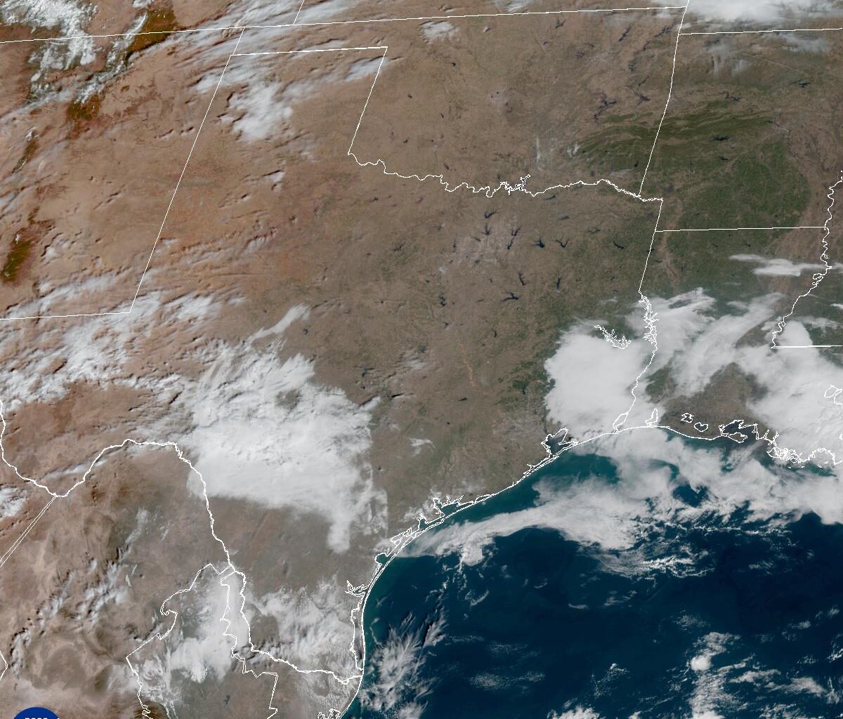
The ridge of high atmospheric pressure that has drifted back and forth across the southern half of Texas, bringing warmer temperatures than normal over the past two weeks, will begin to shift east. That change will open the door for another storm system to move into the Lone Star State this weekend.
This time, we could see heavier rainfall along with a few strong, borderline severe storms. But first, we’ll have to get through another hot day in Austin, with temperatures nearing record highs.
Friday morning will start mostly cloudy with light south winds and temperatures hovering around 60 degrees. Highs will quickly climb into the low 80s under a mix of clouds and limited sunshine, with breezy south winds gusting up to 20 mph.
The record high for Friday in downtown Austin is 84 degrees, set in 1924, while the record at Austin-Bergstrom International Airport is 83 degrees, set in 2000.
Clouds will increase ahead of the storm system on Saturday. With a deeper volume of atmospheric moisture streaming in from the Gulf Coast, a few light streamer showers or areas of patchy drizzle remain possible overnight and into early Saturday.
The heavier rainfall and potentially strong storms are expected to hold off until Saturday afternoon and evening as the cold front accompanying the storm system moves through the area.
The National Weather Service’s Storm Prediction Center has placed the region under a level 1 of 5 risk for severe weather with a few strong storms producing damaging winds up to 60 mph as the primary threat.
“The base of the trough (of low pressure) is coming through our forecast area with the best dynamics bouncing northward during the day,” meteorologists at the National Weather Service wrote in their forecast discussion on Thursday. “This leads to a low expectation for rainfall with potentially no rain for a part of the southwest counties, and a decent signal for a quarter-inch to a half-inch type amounts over Central Texas.”
Keep in mind that it’s Valentine’s Day, and if you have outdoor plans with your sweetie, you may need to keep a close eye on the forecast or consider an indoor Plan B.
Behind Saturday’s storm system, drier air will move in for the second half of the weekend, along with breezy north winds.