
Most of North Texas is likely to be plagued by heavy rain this Valentine’s Day, but some counties could see a more severe weather threat.
The whole region should have at least a 20% chance of precipitation by 6 a.m. Saturday. As the storms move from west to east, rain chances should increase, hitting over 90% probability by 9 a.m. at DFW International Airport.
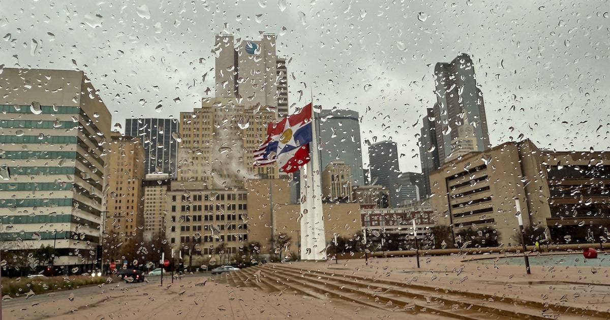
Dallas, Tarrant and Collin counties are all forecast to receive 1 to 1.5 inches of rain, according to the National Weather Service’s Fort Worth office. A few storms may become strong during the day in this area, with gusty winds and small hail. Further south, more severe storms are forecast with possible tornadic winds around the Brazos Valley.
Rain could linger through the evening across the metro area but should clear by sunrise Sunday morning. Some clouds may linger, with a nearly seasonable high of 66 degrees.
D-FW Weather Wise
Warmer temperatures should return quickly, though, with highs in the 70s and low 80s next week.
The latest Dallas weather forecast from KXAS-TV (NBC5):
SATURDAY: A 100% chance of showers and thunderstorms. Otherwise cloudy and breezy. High: 72. Wind: SW 15-20 mph.
SUNDAY: Mostly sunny. Low: 50. High: 66. Wind: N 10-15 mph.
MONDAY: Sun, clouds and mild. Low: 48. High: 73. Wind: S 10-15 mph.
TUESDAY: Partly cloudy, breezy and mild. Low: 54. High: 80. Wind: S 10-20 mph.
WEDNESDAY: Partly to mostly cloudy and mild. Low: 56. High: 82. Wind: SW 10-15 mph.