
Fort Worth
North Texas is having a stormy Valentine’s Day weekend.
A storm system arrived in the region on Friday, Feb. 13, and more widespread showers and thunderstorms are expected to continue through most of Saturday, Feb. 14, according to the National Weather Service Fort Worth.
Small hail and gusty winds are possible Saturday with isolated strong to marginally severe storms.
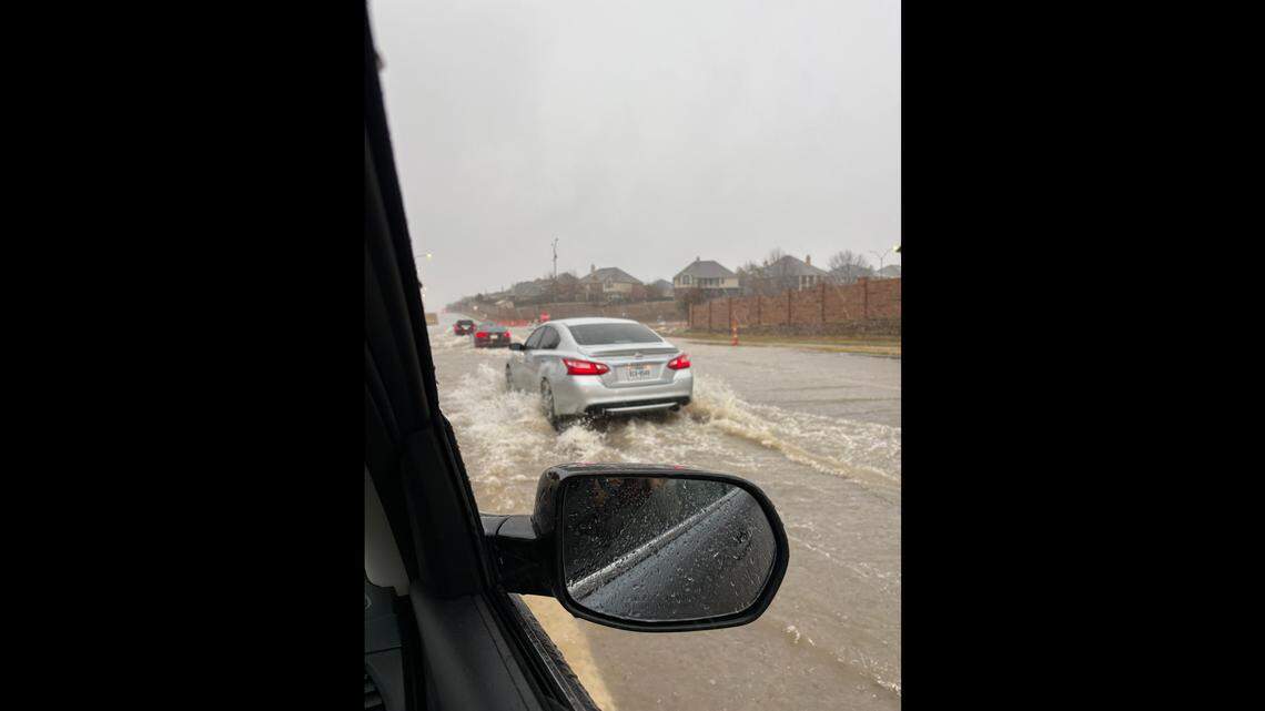
Around noon on Saturday, Fort Worth police responded to a couple of emergency calls for vehicles stuck in high water on flooded roads near W. Risinger Road/Summer Creek Drive and Oak Grove Road/E. Felix Street.
A severe thunderstorm warning was issued about 12:30 p.m. for southern Dallas County. The storm was located near Desoto and moving east at 35 mph with radar-indicated 60 mph wind gusts and penny-size hail.
Storms will move west to east throughout the day. Rain should end in some areas Saturday afternoon, but scattered showers and storms could linger Saturday night before exiting to the east early Sunday morning, the NWS said.
“There is also a threat for a quick spin-up mainly across the Brazos Valley during the afternoon and evening hours,” according to the forecast.
Most likely rainfall totals this weekend will range from 0.5 to 1.5 inches.
All rain is expected to exit the region by early Sunday, Feb. 15.
🔥 In case you missed it…
Temperatures this weekend
Here’s a look at the daily highs for the weekend:
Friday, Feb. 13: 79 degreesSaturday, Feb. 14: 70 degreesSunday, Feb. 15: 69 degrees
This story was originally published February 12, 2026 at 12:17 PM.
Related Stories from Fort Worth Star-Telegram

Fort Worth Star-Telegram
Brayden Garcia is a service journalism reporter at the Fort Worth Star-Telegram. He is part of a team of local journalists who answer reader questions and write about life in North Texas. Brayden mainly writes about weather and all things Taylor Sheridan-related.