
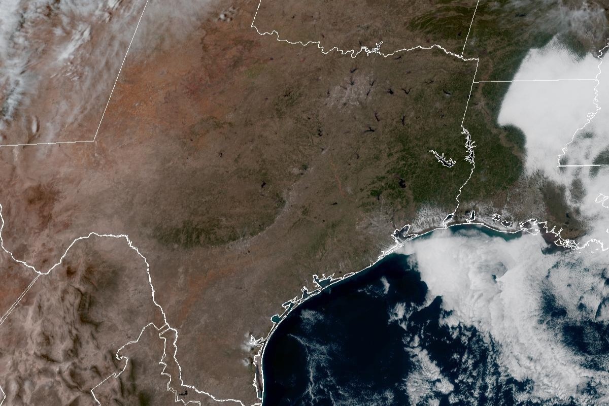
Expect another day of clear skies over Texas on Tuesday, just as they were seen here in this weather satellite photo taken around 1:30 p.m. Monday.
Geostationary Operational Environmental Satellites/CIRA and NOAA
Was that it for winter? Is it time to just declare it spring already? Maybe. Austin can certainly expect more spring-like temperatures for the next several days and possibly through the end of February, according to forecast models.
Meanwhile, the National Weather Service is monitoring the potential development of a cool air mass out of Canada that could visit Texas via a weekend cold front. Don’t count on freezing temperatures, though, as temperatures would simply be downsized to more seasonably normal levels, forecasters said.
Article continues below this ad
Tuesday: Until then, Tuesday in Austin is shaping up to be mostly cloudy in the morning before gradually becoming sunny. Blustery southerly winds of 5 to 10 mph, with gusts as strong as 25 mph, will accompany afternoon temperatures that will peak at around 82 degrees.
Wind gusts across South and Central Texas will be as strong as 20 mph by 3 p.m. Tuesday, according to the National Blend of Models.
National Blend of Models/Pivotal Weather
The influence of a broad area of low atmospheric pressure in the northern Plains is driving the southerly flow of air into Texas, forecasters said.
“Winds during the afternoon Tuesday are forecast to reach 15-20 mph with gusts to 25-30 mph, especially for the Hill Country and along the I-35 corridor,” the weather service said in a forecast bulletin Monday. “Those winds should weaken Tuesday evening once the low moves towards the Midwest.”
Article continues below this ad
At night, clouds roll back into the region but they will help keep Austin’s overnight and predawn temperatures above 60 degrees, forecasters said. Gusty southerly winds will persist.
Austin temperatures could retreat to more seasonable levels this weekend, according to the National Weather Service.
National Weather Service
How weirdly warm will this week be? Let’s crack open the record books and break down what’s considered “normal” for this time of year in Austin.
Article continues below this ad
The weather service uses averages derived from 30 years of climate data, from 1991 to 2020, to establish the benchmarks for “normal” weather. Based on those values, the daily temperatures on Feb. 17 range, on average, between 46 degrees before dawn and 67 degrees in the mid-afternoon. Instead, Tuesday’s temperatures will range from 55 to 82 degrees, or about nine to 15 degrees warmer than normal.
Austin’s winter temperatures have climbed above normal levels in February, as they did in December and early January.
National Weather Service
We don’t have to worry, though, about temperatures breaking any heat records this week. Tuesday’s temperatures would have to surpass the Feb. 17 record of 92 degrees, set in 1959.
Wednesday: Looking ahead to Wednesday, Austin should see more clouds but remain partly sunny. Not even the clouds, though, will stop temperatures from climbing to 83 degrees. Overcast skies will settle in Wednesday night, and the increased humidity and atmospheric moisture is expected to help keep overnight temps in the 60s.
Article continues below this ad
Thursday: Austin on Thursday should be partly sunny, with temperatures reaching 85 in the afternoon. South winds of around 5 mph will become northerly breezes in the afternoon. Thursday evening could see skies turn partly cloudy, and the cloudiness will help overnight temps stay above 59 degrees into Friday morning.
Friday: “A cooler air mass will be building over southwestern Canada during the week, and (forecast model) ensembles suggest that a portion of this air will be starting to make its way into Texas behind a cold front Friday or Saturday,” the weather service said.
Although forecasters said “there could be some rain with the front,” they added that “the lack of deep-layer moisture suggests likely lower-end rainfall amounts and better opportunities for rain farther east.”
Article continues below this ad
So far, Austin appears to be ending the work week on Friday under sunny skies, accompanied by temperatures approaching 80 degrees. Active northerly winds of 5 mph will signal the passage of the cold front, forecasters said.