
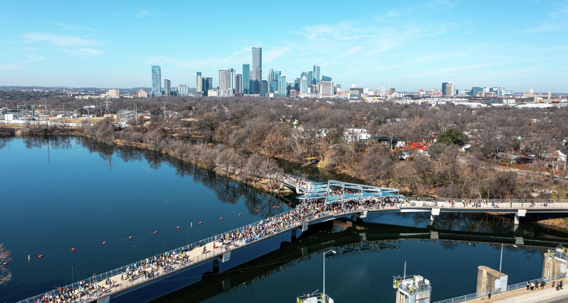
Hundreds of Austin residents walk and bike on the new so-called wishbone bridge near the Longhorn Dam on Feb. 7, when temperatures became unusually warm within two weeks of a major freeze in late January.
Aaron E. Martinez/Austin American-Statesman
We are in the middle of an unusually warm stretch across Texas, with temperatures running 10 to 15 degrees above normal.
Interestingly, there’s something about the third week of February in South-Central Texas that has delivered extreme weather, from frigid temperatures to true heat waves. In 1986, 40 years ago this week, from Feb. 16-20, the region experienced the second-hottest five-day stretch ever recorded in February.
Article continues below this ad
Overall, this winter has been warmer than normal with the exception of a major freeze in late January.
Roberto Villalpando
Several records were set in Austin during that period, including 91 degrees on Feb. 18; then 93 degrees on Feb. 19; and finally 97 degrees on Feb. 20.
Even more intense heat arrived a decade later. From Feb. 19-23, 1996, Central Texas saw its hottest late-winter stretch on record. All-time February records were set during that heat wave. Austin-Bergstrom International Airport reached 101 degrees, while Camp Mabry peaked at 99 degrees.
Historical trends indicate that an unusually warm February could offer clues about the summer that follows. Of the 20 warmest Februarys in Austin’s history, 14 later recorded above-average summer temperatures. In other words, 70% of the time, a warm February has been followed by a hotter summer than normal — a notable correlation as we look ahead.
Article continues below this ad
A notable number of 80-degree days have been recorded Austin in February. Here’s a look at the years with seven or more such days.
Roberto Villalpando
What are forecast temperatures this week?
A trough of low atmospheric pressure over the western half of the United States will gradually push into Texas later in the week, triggering some changes in the weather by this weekend.
Wednesday will start off cloudy with light south winds and morning temperatures in the upper 50s in the Hill Country and in the lower 60s along the Interstate 35 corridor. The afternoon will turn partly cloudy with temps climbing into the upper 70s and lower 80s. They won’t be close to record territory, but they will be well above our mid-February climate-averages of 67 degrees for highs and 46 degrees for lows.
Article continues below this ad
Austin temperatures will quickly climb Wednesday from the lower 60s around daybreak to the lower 80s in the afternoon.
Pivotal
Thursday will be the warmest day of the week, aided by weak downsloping off the Balcones Escarpment. When air moves from the higher elevations of the Hill Country down toward lower elevations in the Austin metro area, it sinks, becomes compressed, and warms. This process is known as compressional warming.
Also, sinking air tends to dry out, which can reduce cloudiness and allow more sunshine to reach the surface. The combination of these will help boost afternoon temperatures a few degrees higher.
A cold front will move through this weekend, triggering a drop in Austin temperatures early next week.
Roberto Villalpando
A cold front will move into Texas on Friday afternoon, but it’s not expected to reach the Austin area until Saturday morning. A slight chance of spotty showers will accompany the front early Saturday, though most area should remain dry.
Article continues below this ad
Ahead of the front, afternoon temperatures on Friday will climb to around 80 degrees. Behind it, cooler air will settle in, with peak temperatures dropping into the 70s on Saturday and then the 60s by Sunday.
A cold front this weekend will bring cooler temperatures into Central Texas early next week, followed by another warm and dry trend for the final days of February and into March. #txwx pic.twitter.com/9HA7mXn1Yi
— Mary Wasson (@Mary_Wasson) February 17, 2026
What about the rest of the month?
Beyond the cold front this upcoming weekend, temperatures will initially be cooler and near seasonal normals on Sunday and Monday. Then another surge in temperatures is expected with 80-degree temperatures returning a week from now. The two-week outlook from the National Weather Service’s Climate Prediction Center continues to lean towards above-average temperatures and below-average rainfall through March 2.
Article continues below this ad