
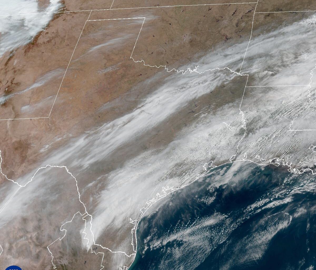
Dry, warm air, high winds, and a lack of meaningful winter rainfall fueled rapid wildfire growth earlier this week across the central Plains, including parts of North Texas.
In Central Texas, conditions were less severe because about half an inch of rain fell over the weekend, helping to ease the dry ground, and winds were lighter. Earlier in the week, gusts reached 25 to 35 mph, significantly lower than the 65 to 75 mph gusts reported in North Texas.
Multiple frontal boundaries will move across the state through the weekend but they won’t bring any rainfall. Instead, they will bring only gusty north winds that will elevate our wildfire threat.
A breezy but dry cold front will sweep across Texas on Thursday, reaching North Texas in the morning and pushing into Central Texas by the afternoon. That’s not welcome news. According to the latest data from the U.S. Drought Monitor, nearly 18 million Texans — about 69% of the state — remain in drought.
With gusty winds expected behind the front, the wildfire threat will increase Thursday, and the Texas A&M Forest Service has placed much of the state, including parts of the Hill Country, under a moderate to high wildfire threat.
Ahead of the front, the air will be unseasonably warm, with peak daytime temperatures reaching the lower to mid-80s under abundant sunshine. Clouds will build in by Friday morning and linger through much of the day. Mornings will be slightly cooler, in the middle to upper 50s, while afternoon temps will climb into the middle to upper 70s.
The next cold front will move through the region late Friday into early Saturday, with only a slim 10% chance of rain expected east of Austin.
“Dry air and a breezy wind are expected Saturday in the wake of this frontal passage with at least elevated to near critical fire weather conditions expected this day,” meteorologists at the National Weather Service wrote in their daily forecast discussion on Wednesday afternoon.
Temperatures will be slightly cooler on Saturday, in the lower to mid-70s, but we’ll see a bigger dip in afternoon temps, back into the 60s, from Sunday into early next week. Winds will continue to be active on Sunday, but as high atmospheric pressure builds in on Monday, winds will relax.
The Texas A&M Forest Service urges Texans to follow local burn bans for the next several days. All of Central Texas is under an outdoor burn ban except for Williamson County.
Here are a few tips to follow: