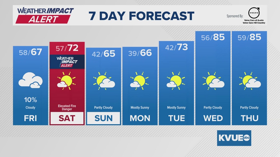
The chilliest mornings will be Sunday through Tuesday, with low temps in the 30s to low 40s.
AUSTIN, Texas — It’s been a warm stretch across Central Texas, but we’re heading into a busier pattern this weekend and early next week.
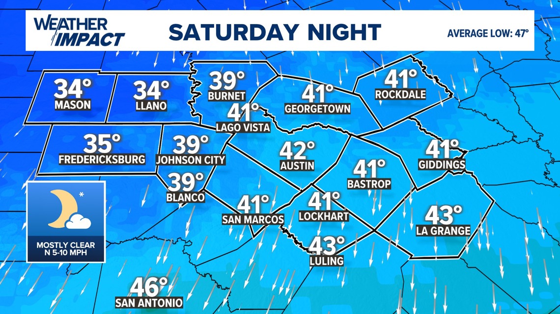
We’re tracking a couple of cold fronts that will bring back some chilly mornings in the 30s and low 40s. In addition, breezy conditions on Saturday have prompted the KVUE Weather Team to issue a Weather Impact Alert Day due to elevated fire danger.
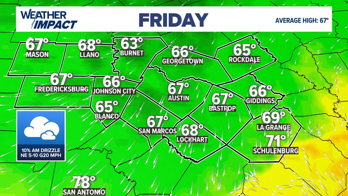
Starting Friday, the first cold front will move through the area. Expect a mostly cloudy and rather gray start to the day with patchy fog, especially southeast of Austin. There could also be areas of drizzle or very light rain during the morning hours, especially southeast of Austin. The afternoon trends mainly dry, but with lingering cloud cover and only limited sunshine, temperatures will run noticeably cooler. Highs Friday will top out in the mid to upper 60s.

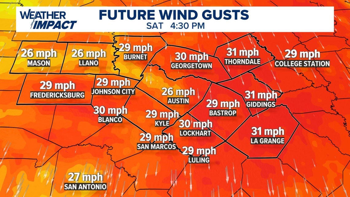
By Saturday, sunshine returns and temperatures actually rebound a bit, with highs reaching the low to mid 70s. However, winds will become the bigger story. A north-northwest wind sustained at 10 to 20 mph with gusts up to 30 mph, combined with very dry air, will increase fire danger across the region.

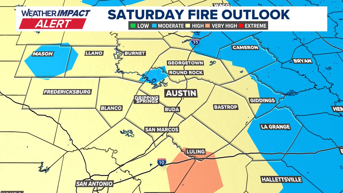
The Texas A&M Forest Service is already highlighting “high” to “very high” fire danger for Saturday, which is why the KVUE Weather Team has issued a Weather Impact Alert Day. Please be very mindful, and avoid any outdoor burning.

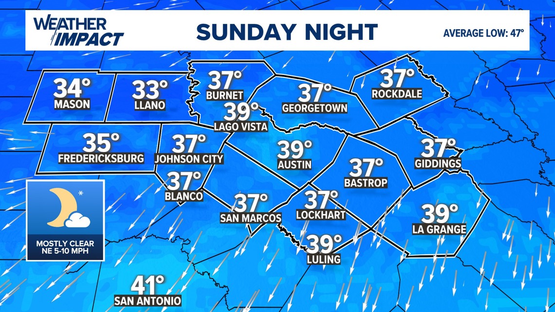
Chilly mornings return beginning Sunday and continue through Tuesday. Sunday morning lows will fall into the mid 30s to low 40s, followed by a sunny but cooler afternoon with highs only in the low to mid 60s, slightly below average for this time of year.

Monday morning currently looks to be the coldest, with widespread mid to upper 30s and a patchy light freeze possible in parts of the Hill Country. Monday afternoon will be the last day in the 60s before temperatures begin trending warmer.

We’ll still have one more cool start Tuesday morning, but a significant warm-up is expected by midweek. Highs are forecast to climb into the mid 80s by Wednesday and Thursday. Depending on the timing of the next cold front, some guidance even suggests low 90s could be in play around the middle of next week.
The KVUE Weather Team will continue to closely monitor the evolving forecast. In the meantime, you can find the extended forecast below.