
Central Texas is just one day away from what could be its best chance at significant rainfall since at least early September. The last measurable rain we had was 0.04 inch that fell each day on Sept. 6 and Sept. 7.
Since then, Austin’s main weather observation site at Camp Mabry has record at least 45 consecutive days with nothing more than a trace of rainfall (less than 0.01 inch). This left lawns dry, vegetation brittle and the region in desperate need of relief from ongoing and intensifying drought.
Thursday, though, will give us one more day of plenty of sunshine and dry weather. Morning temperatures will start in the low to mid-60s, with afternoon highs climbing into the upper 80s to lower 90s, which would be about 10 degrees above Austin’s average high temp for Oct. 23.
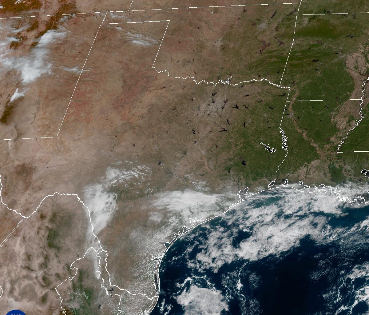
An area of low atmospheric pressure is expected to move into the Four Corners region in the American Southwest on Thursday, then push into the southern Plains by Friday and Saturday.
Coastal showers likely will develop Friday morning, with more widespread and organized showers and thunderstorms by Friday afternoon and continuing through Saturday.
A combination of strong upper-level winds, atmospheric instability and lift produced by the trough of low pressure, and a cold front interacting with a warm and humid air mass will trigger widespread rainfall in Central Texas. The highest rain chances (up to 80%) are expected Friday evening through Saturday as the cold front moves across South-Central Texas, according to the latest forecast models.
While severe thunderstorms are unlikely with this storm system, locally heavy rainfall is possible, especially across the southern Edwards Plateau, the Hill Country, and the Interstate 35 corridor, including the Austin and San Antonio metro areas. Current forecast trends point to a solid inch to 2 inches of rainfall, but isolated higher amounts are possible, especially if the storm slows down.
The National Weather Service’s flood forecasters at the Weather Prediction Center have raised the risk of excessive rainfall to level 2 of 4, or at least a 15% chance, across most of Central Texas for Friday.
This amount of rain in our part of Texas that sits in “Flash Flood Alley” could become more than a nuisance and overwhelm low-lying roads and urban areas with poor drainage. However, the dry spell could work to our advantage, and the dry soils could soak up much of the rainfall, according to the West Gulf River Forecast Center.
“With the ‘Third Summer,’ soils have dried out and vegetation is holding on, so runoff will be slow to occur,” the West Gulf River Forecast Center posted on social media Wednesday. “Area lakes have recovered from spring and summer rainfall, so water supply and flood control reservoirs have ample storage available.”
Temperatures also will be lower, thanks to increased cloudiness and rain-cooled air from the scattered showers and thunderstorms. Morning temps will be in the lower to mid-60s, and afternoons will be in the 80s from Friday through Sunday.