
The sky should be cloudier Thursday as North Texas preps for a rainy weekend.
Isolated showers and storms are possible for the northern part of the region, but they will be limited. The temperature should be brisk Thursday morning, at 59 degrees, before rising to 84 in the afternoon.
Rain chances are expected to start climbing in the early hours of Friday morning, but the heavier rainfall isn’t expected until the afternoon.
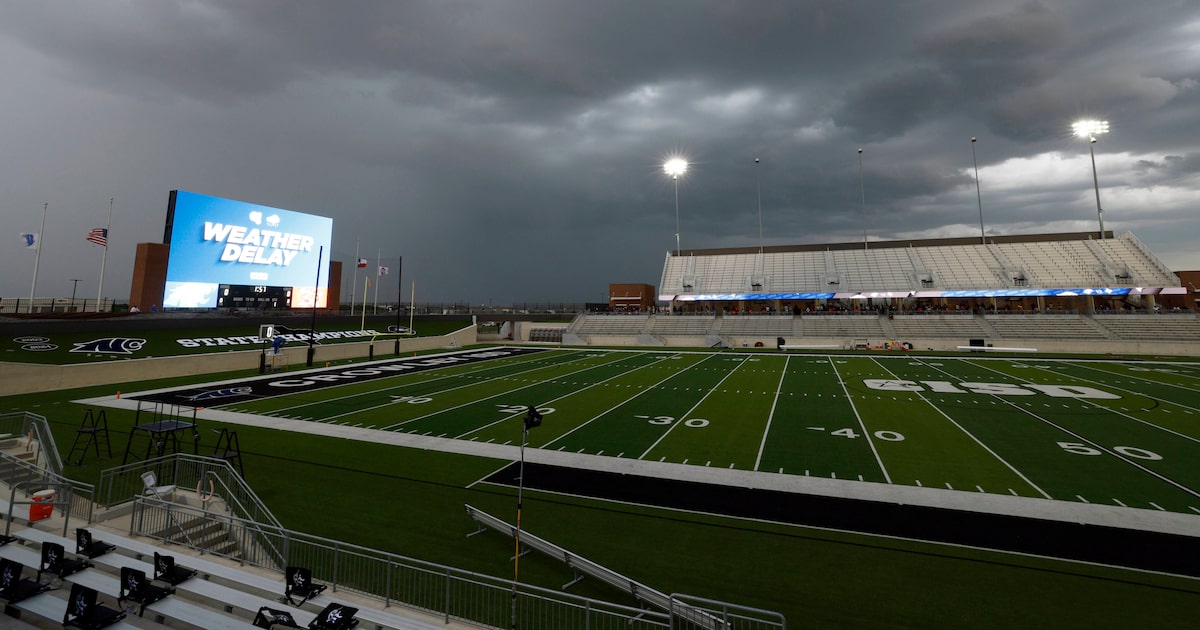
The National Weather Service’s Fort Worth office said there is some concern for possible flash flooding overnight Friday, particularly in more urban areas. One to 3 inches of rain is expected through Saturday evening, with up to 4 inches possible.
D-FW Weather Wise
Friday morning should be warmer and muggier as storms approach, but the rain should help keep temperatures slightly lower than Thursday.
The latest Dallas weather forecast from KXAS-TV (NBC5):
THURSDAY: Partly cloudy to mostly cloudy and warm with a 20% chance for isolated showers or thunderstorms. High: 84. Wind: SSE 10-15 mph.
FRIDAY: Partly to mostly cloudy with a 60% chance of showers and thunderstorms. Low: 67. High: 81. Wind: S 10-20 mph.
SATURDAY: Mostly cloudy with a 80% chance of rain. Low: 61. High: 73. Wind: W 5-10 mph.
SUNDAY: Partly cloudy and mild. Low: 61. High: 78. Wind: S 5-10 mph.
MONDAY: Partly cloudy and warmer. Low: 62. High: 82. Wind: S 10-20 mph.