
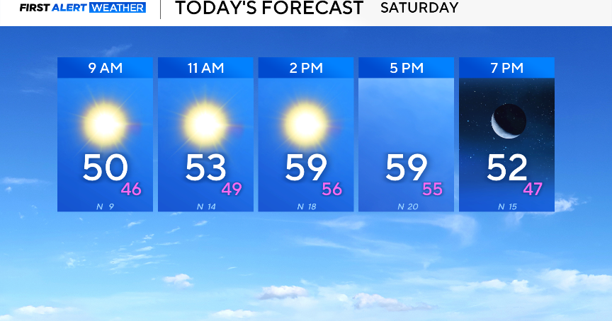
Saturday is going to be cool and sunny. Temperatures will start in the 50s and gradually warm into the low 60s by the afternoon.
A cold front will be moving through the area, causing wind to gust up to 30 mph at times. This will make the actual temperature outside feel anywhere from 5 to 10 degrees cooler.

The cold front will usher in a cool airmass, and winds will settle down Saturday night. This will allow radiational cooling to take place. Meaning, the heat and radiation from the surface will be allowed to seep out into the atmosphere, resulting in a crisp morning on Sunday.
Sunday morning will be in the 30s and flirting with the freezing line for some of the outer counties. Temperatures will climb throughout the day, back into the 60s by the afternoon.
Starting the new work week, Monday morning will be cool and crisp once again with temperatures in the 30s. However, a ridge of high-pressure will dominate the upper-levels of the atmosphere, bringing warmer-than-average temperatures back into the forecast.
By midweek, high temperatures will be in the 80s. This may bring fire danger concerns to North Texas on Wednesday due to gusty winds.
Another cold front will move through either late Wednesday or early Thursday. Temperatures will dip a few degrees once again. As for rainfall, conditions are looking dry throughout the rest of the week.
