
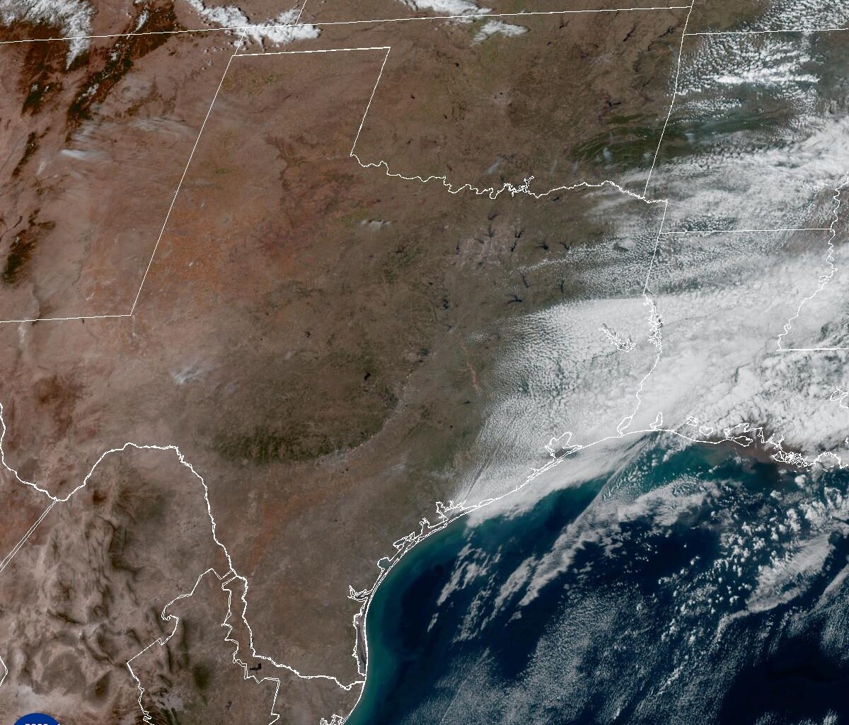
Even after a cold front moved through Thursday, the change in temperatures has been minimal. Afternoon temps will continue to soar well into the 80s statewide, with the only cooler pocket found along the Red River and into the Texas Panhandle.
Peak daytime temperatures are forecast to reach the upper 70s in Amarillo, around 80 degrees in Dallas, and the lower to mid-80s from San Angelo to Austin and east toward Houston. Farther south, from San Antonio down to Brownsville, temperatures will climb into the upper 80s to near 90 degrees.
As we close out the month, Austin temperatures will remain about 15 degrees above the late-February average of 69 degrees. Austin’s forecast high of 86 degrees would mark the 12th 80-degree day this month. That would not only tie the 2017 record for the most 80-degree days ever recorded in February but also for any month in meteorological winter (December, January and February).
Sunshine will prevail both Friday and Saturday with light northeast winds on Friday and breezy southeast winds on Saturday. The wildfire threat will remain moderate to high across Central Texas with low dew point temperatures (indicating low atmospheric moisture) and somewhat gusty winds.
Southerly air flow off the Gulf of Mexico will introduce higher moisture and humidity levels, along with increased cloudiness as we begin a new month on Sunday, and the start of meteorological spring (March, April and May).
Meteorological spring gives forecasters a consistent three-month period for record-keeping and seasonal comparisons. This differs from astronomical spring, which is based on the Earth’s position around the sun and begins March 20 with the vernal equinox.
With that in mind, Sunday will start mostly cloudy with morning temperatures near 60 degrees before skies turn sunny and breezy in the afternoon. Highs will climb into the middle to upper 80s.
The pattern of morning clouds followed by afternoon sunshine will stick around for the first couple of days of March. After that, a shift in the weather pattern is expected, including a solid chance at rain and thunderstorms by midweek. The best opportunity for rainfall looks to be Wednesday into Thursday, with totals between a quarter-inch and a half-inch by the end of the day Thursday.
Unseasonably high temperatures that are well above the climate average, will continue through the first half of March — not just in Texas, but across much of the contiguous United States.