
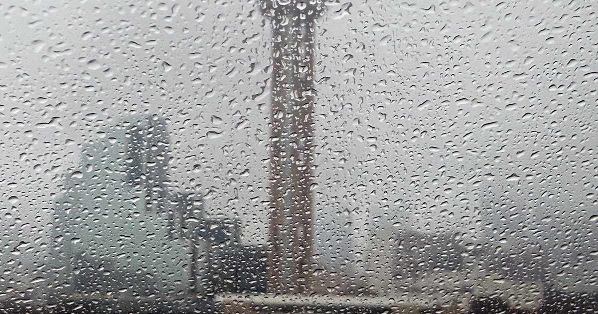
Wednesday is the first day of a series of rainstorms, and it’s bringing severe weather threats.
The day should start relatively quiet, with a 20-30% chance of scattered showers between 6 a.m. and 11 a.m., according to the National Weather Service’s Fort Worth office. Storms become more likely in the afternoon and evening, with the highest chance of thunder from 6 p.m. through midnight.
A cold front is forecast to move into the region, with severe weather most likely along its border. The front is expected to stall near the Interstate 35 corridor in the afternoon, and could help drop temperatures in D-FW a few degrees.
If severe storms form, the most likely hazards are hail up to 2 inches in diameter and wind gusts up to 70 miles per hour are possible. These instances of severe weather are expected to be isolated, and the tornado threat is low.
D-FW Weather Wise
After midnight, conditions should calm in North Texas. The front is expected to shift further north, leaving showers in its wake. An additional 0.2 inches of rain is expected to fall in the morning and afternoon on Thursday.
The severe storm activity is forecast to resume Friday, but the specifics of the threat aren’t as certain yet. Hail, intense winds and a tornado or two are all possible in the afternoon and evening.