
A dangerous line of storms moved across northeast Texas early Saturday morning, producing tornado warnings and a confirmed tornado in Marion County near Highway 59 around 3 AM.
Those storms have now moved into Arkansas and Louisiana, but a line of strong thunderstorms continues across North and West Texas, extending from near Gainesville through Abilene toward San Angelo.
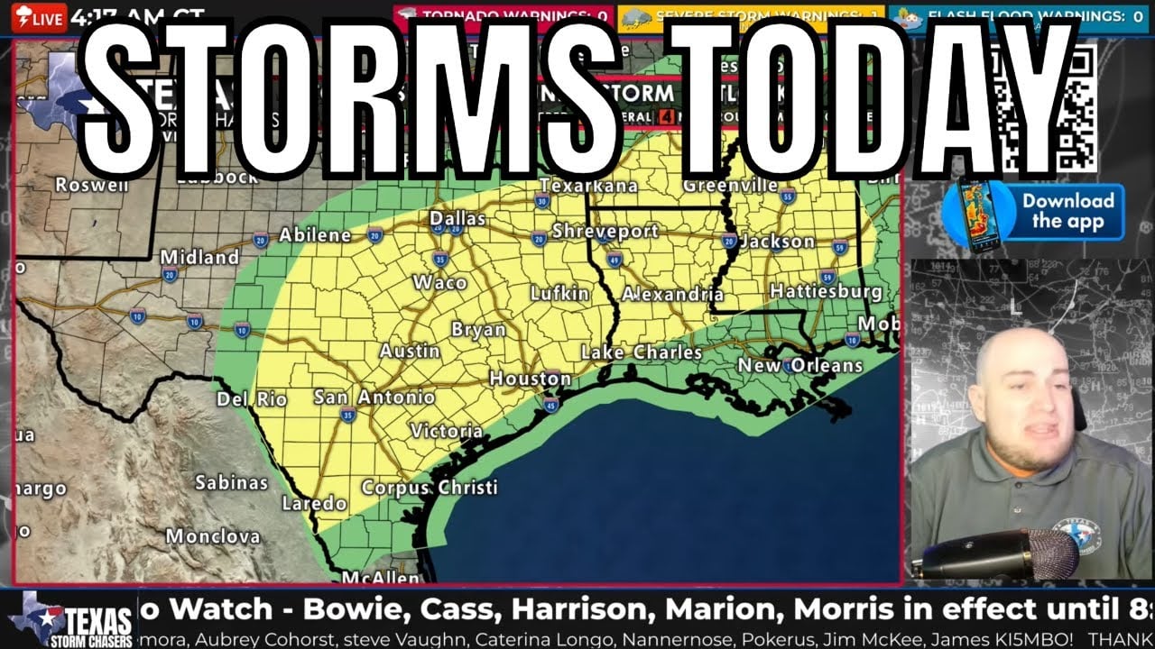
Through the rest of Saturday (March 7, 2026), scattered thunderstorms will continue across the southeastern half of Texas as a cold front moves south. Some storms may produce:
• Large hail (possibly larger than golf balls in isolated storms)
• Damaging wind gusts
• Frequent lightning
• Locally heavy rainfall and minor flooding
The tornado threat today appears low, but isolated storms in Northeast Texas will still need to be monitored this morning.
Stay weather aware and monitor storms using the Texas Storm Chasers mobile app and our 24/7 live severe weather coverage.
Join this channel to get access to perks:
https://www.youtube.com/channel/UCoIfgmxArIATc2EpHD3W9EA/join
Download our FREE Weather App: https://texasweather.app/
Check out the links to our website & radar, live-saving tornado alert phone calls, photo gallery, donations/store, and other social media: https://www.Linktr.ee/texasstormchasers
#TexasWeather
#SevereWeather
#TexasStorms
#TornadoWarning