
Fort Worth
A tornado watch issued Friday for parts of North Texas was canceled early after a “strong cap” formed and is preventing severe storms from forming, according to the National Weather Service.
Several local counties were under the watch, including Tarrant, Dallas, Denton, Collin, Jack, Parker, Wise, Young and Palo Pinto.
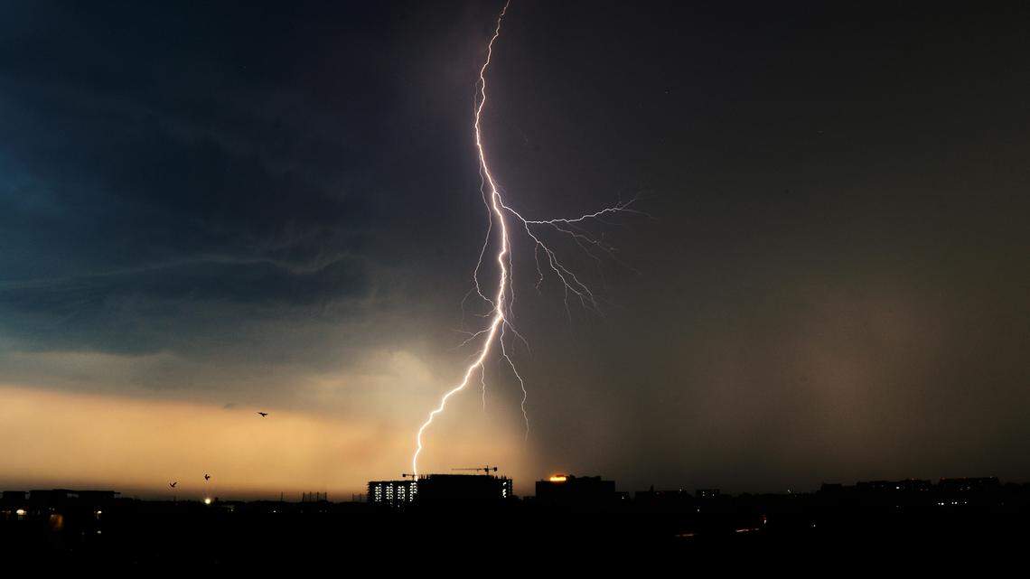
An isolated strong to severe storm remains possible through 10 p.m. Friday, according to the National Weather Service. Chances for showers and storms remain through Sunday, and the greatest threats are hail, damaging winds and flooding due to multiple rounds of heavy rain.
.png "image (55).png") Showers and storms will continue in North Texas over the weekend. National Weather Service Fort Worth Weekend weather outlook
Showers and storms will continue in North Texas over the weekend. National Weather Service Fort Worth Weekend weather outlook
Showers and storms will continue in North Texas over the weekend.
The flooding threat will increase this weekend as multiple rounds of heavy rain affect the region, according to the NWS. A few strong to severe storms could develop in Central Texas on Saturday, bringing chances of large hail and damaging winds.
In North Texas, showers are in the forecast for much of the day and overnight.
🔥 In case you missed it…
Flooding potential will continue on Sunday, as a front brings another round of scattered showers and thunderstorms. Severe storms are not expected Sunday as of now, according to the NWS.
The active weather pattern will continue into next week, with chances of showers and storms through Wednesday. There could be potential for severe thunderstorms on Tuesday, according to the NWS.
As the next week nears, the NWS will have a better understanding of what the storms will bring.
This story was originally published March 6, 2026 at 12:18 PM.
Related Stories from Fort Worth Star-Telegram

Fort Worth Star-Telegram
Brayden Garcia is a service journalism reporter at the Fort Worth Star-Telegram. He is part of a team of local journalists who answer reader questions and write about life in North Texas. Brayden mainly writes about weather and all things Taylor Sheridan-related.