
UPDATE (4:15 p.m. March 7):
The National Weather Service has issued a Severe Thunderstorm Watch “for most of South Central Texas” through 11 p.m. Saturday. “Main hazards are large hail and damaging wind gusts, especially along and east of the I-35 corridor and the southern part of the Rio Grande,” the NWS said.
Scattered hail remains a threat in the area as well as some isolated wind gusts that could reach up to 70 miles per hour. Frequent lightening is also possible.
Original Story:
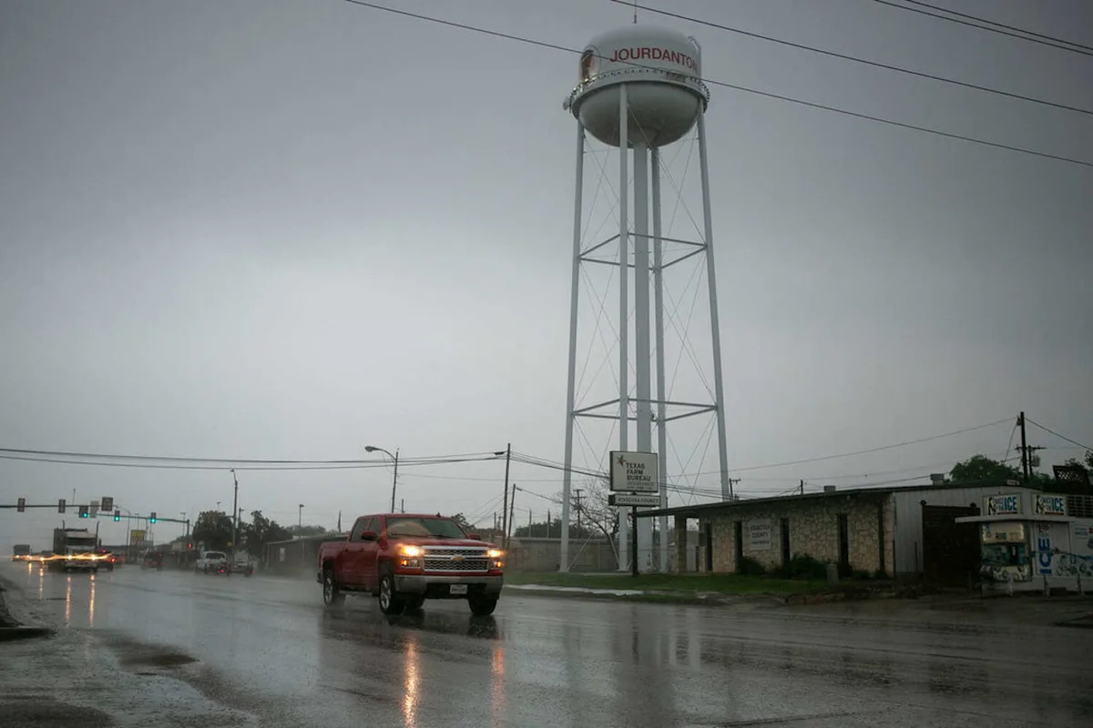
Plan for a weekend indoors, because the National Weather Service (NWS) is forecasting gloomy conditions in San Antonio and its surrounding areas. Heavy rain and thunder just scratch the surface of what to look out for on Saturday, March 7.
Meteorologists at the NWS say a cold front will push into the Edwards Plateau and Hill Country late in the morning, then into the remainder of our region in the evening, increasing the possibility of showers and thunderstorms. The most likely time is before 9 a.m. and through 12 p.m.
San Antonio, Austin, New Braunfels, and other towns nearby face a level two out of five risk that these storms turn “severe,” according to the agency. It could run intermittently through the morning of Sunday, March 8, bringing locally heavy downpours to some counties.
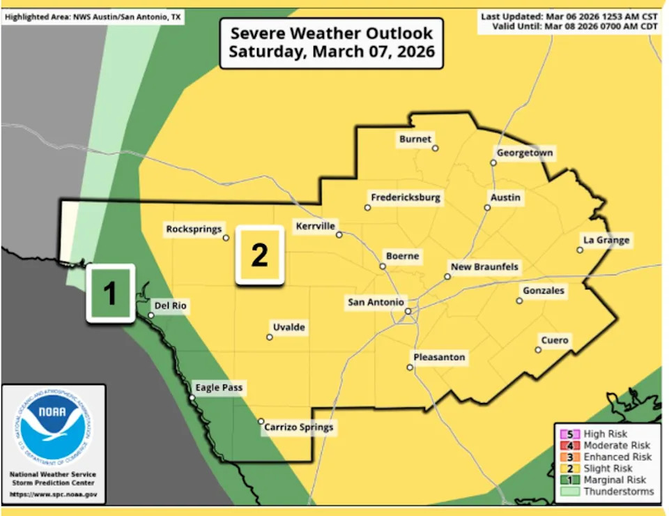
Large hail, heavy rain, and damaging wind gusts are in the forecast for the San Antonio and Austin, Texas, areas on Saturday, March 7, 2026, the NWS says. (Courtesy of the National Weather Service)
There’s a 75 to 85 percent chance the rain will exceed one inch in the Hill Country, I-35 Corridor, and Coastal Plains, the agency adds. What does that look like for you? San Antonio is currently sitting at 83 percent, while Austin is at 85 percent. Further west, it increases. Kerrville is at 88 percent, and Fredericksburg is at 86 percent.
Aside from this, the main hazards folks should prepare for are minor floods, damaging wind gusts, and large hail. The agency tells MySA that it could be “greater [or] up to around 1 inch, but a “few storms could produce 2-inch” stones. Meanwhile, gusts could hit up to 20 mph during both the daylight hours and after sunset.
Though grey clouds will be overhead, it will still be warm in South-Central Texas. The region is looking at a high of 82 degrees and a low of 58 degrees at night. The following day, the chance of precipitation is still measuring at 80 percent, though it decreases to 50 percent later in the day.
Still, forecasters are urging residents to monitor weather conditions this weekend, review their individual safety plans, and stay aware of changing conditions if they have outdoor plans.
This article originally published at Ping Pong-sized hail threatens San Antonio as Severe Thunderstorm Watch issued.