

Thunderstorms and lightning
Pexels
Fort Worth
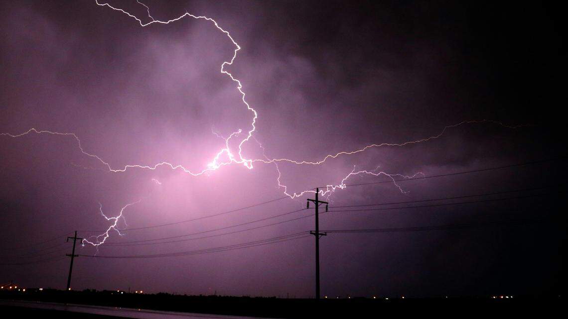
Severe weather returns to North Texas on Tuesday, March 10.
An upper-level storm system is bringing another round of strong and severe storms over Tuesday afternoon and evening, according to the National Weather Service Fort Worth.
There’s uncertainty on how early storms will develop Tuesday afternoon. Any storms that develop may become severe with all modes of severe weather possible like large hail, damaging winds and tornadoes.
🔥 In case you missed it…
More widespread thunderstorms are expected late Tuesday into early Wednesday, March 11, according to the NWS. This activity will contain low threats for damaging winds and spin-up tornadoes.
The main severe weather timing Tuesday will be from 4 p.m. to midnight. Local heavy rainfall may lead to isolated flash flooding, especially in areas that received significant rain over the weekend.
Daily highs will be right around 80 degrees Tuesday, with overnight lows in the low 60s.
.png "image (56).png") Severe weather is possible in North Texas on Tuesday, March 10. National Weather Service Fort Worth Storms exit Wednesday
Severe weather is possible in North Texas on Tuesday, March 10. National Weather Service Fort Worth Storms exit Wednesday
A “disorganized” line of thunderstorms will move across North Texas on Wednesday, according to the NWS.
Much of the Metroplex will see rain throughout the day, with stronger storms in the mix for parts of East Texas. All precipitation will exit the forecast area by late Wednesday.
Heading into Thursday, March 12, temperatures will be cool in the mid-60s with sunny skies overhead.
Sunny weather will continue on Friday, March 13, and over the weekend as temperatures stick around the low to mid-80s.
Related Stories from Fort Worth Star-Telegram

Fort Worth Star-Telegram
Brayden Garcia is a service journalism reporter at the Fort Worth Star-Telegram. He is part of a team of local journalists who answer reader questions and write about life in North Texas. Brayden mainly writes about weather and all things Taylor Sheridan-related.