
SAN ANTONIO – After a turbulent night across the region, calmer and sunnier weather is set to take over later Wednesday.
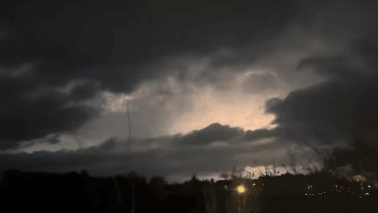
Strong storms capable of producing damaging wind gusts, hail, and localized flooding moved through the area overnight and into the early morning hours. Some of the strongest activity occurred west of San Antonio before pushing east.
For the San Antonio metro and the I-35 corridor, the severe threat was lower. Storms moving in from the west brought the potential for large hail, gusty winds, frequent lightning, and heavy downpours
Today’s Forecast
Mainly sunny skies for the remainder of the day. An isolated pop-up shower remains possible this afternoon, mainly across the eastern counties.
Highs: 80–84
Winds: Northwest 6–12 mph
Despite the stormy start, the afternoon will feel noticeably calmer with sunshine returning and temperatures climbing into the low 80s.
Your Photos and Video
Comment with Bubbles
BE THE FIRST TO COMMENT
Click here to share your photos and video – or use the form below…