
Strong to severe thunderstorms are now moving into the western Hill Country. Several warned storms near Del Rio and Rocksprings have been capable of producing wind gusts up to 70 mph. Due to the potential of powerful thunderstorms this evening, a Severe Thunderstorm Watch is now in effect until 3 a.m. Saturday for the southern Edwards Plateau, Hill Country, and the I-35 corridor. The main threats include damaging winds and large hail, with a few isolated tornadoes possible. Make sure you have a way to get severe weather alerts while you are sleeping.
Heavy downpours may also lead to localized flash flooding as a strong line of storms moves through the area. As of 9 p.m., rainfall totals have already exceeded one inch in parts of Llano and Burnet counties. A Flood Watch remains in effect until midday on Saturday.
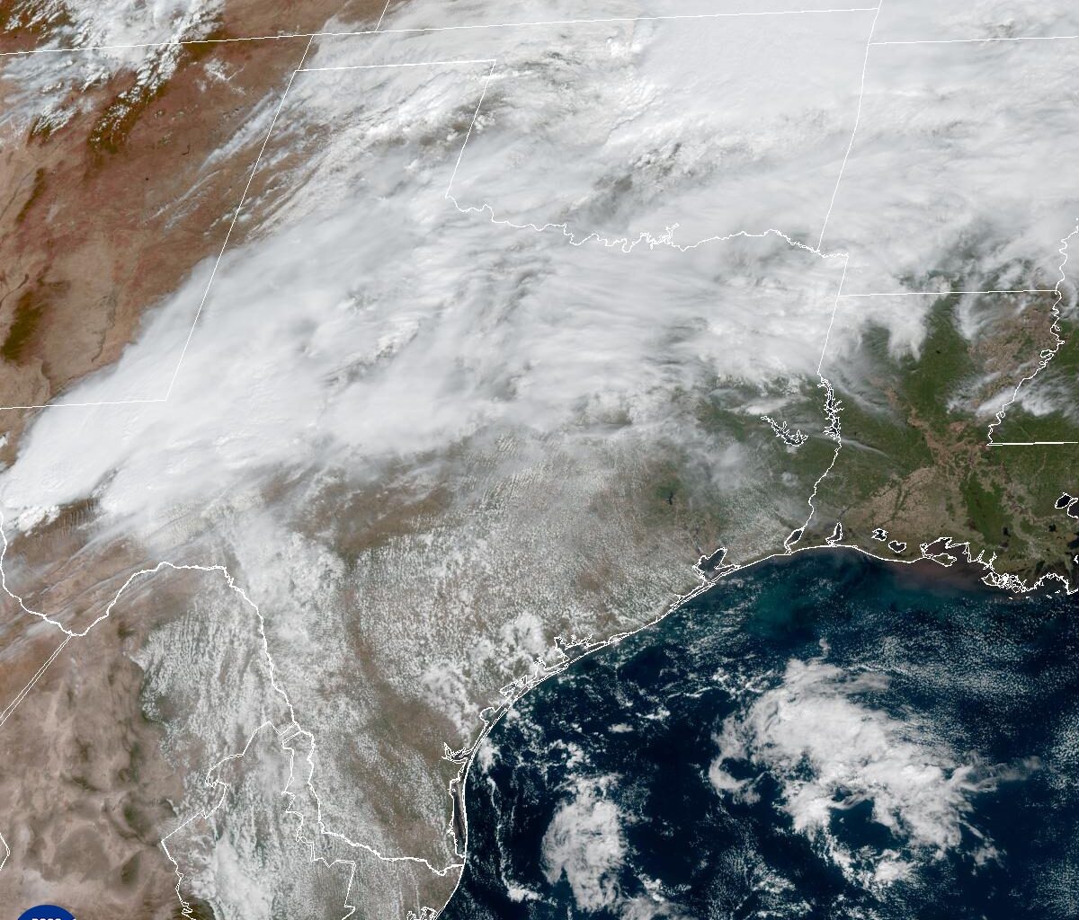
After 46 dry days, rain is finally returning to Austin — but in a style typical for Texas weather, it’s rain with a threat of severe thunderstorms and potential flooding.
In response, the National Weather Service has issued a flood watch for all Central Texas from 7 p.m. Friday until 1 p.m. Saturday. The watch area includes parts of the Hill Country, southern Edwards Plateau and major metro areas along the Interstate 35 corridor, such as Austin and San Antonio.
Overall, rainfall totals during this watch period are expected to range from an inch to 3 inches, with isolated amounts of up to 5 inches.
Thunderstorms are expected to develop along a Pacific cold front this afternoon, organizing into a complex of storms that will move across the Hill Country around 10 p.m., reach the I-35 corridor between midnight and 1 a.m., and then weaken somewhat as it approaches U.S. 77, east of Austin, early Saturday.
This complex of storms, known as a mesoscale convective system, can cover entire states and last for more than 12 hours. On radar, these systems can appear as a solid line, a broken line, or a cluster of cells, and they often pack a powerful punch.
“Moderate mid-level lapse rates, shear, and instability indicates a potential for strong to severe storms with damaging winds and hail as main threats,” the regional National Weather Service office for Austin wrote in its daily forecast bulletin on Friday morning.
A brief tornado also remains a possibility as the weather service’s Storm Prediction Center gives a 5% to 9% chance for tornadoes in Austin and areas to our west.