
Thunderstorms temporarily halted flights to Houston’s IAH airport, with severe weather risks persisting.
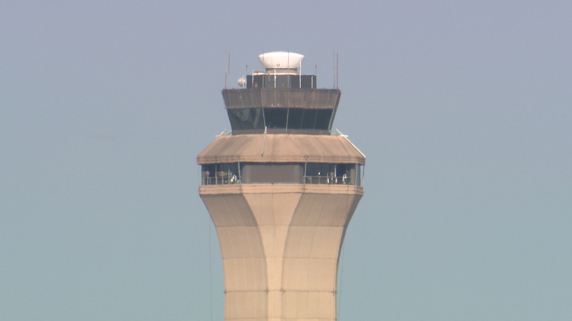
Departures to George Bush Intercontinental Airport were temporarily grounded on Saturday morning due to thunderstorms moving through the Houston area, according to the Federal Aviation Administration.
The agency placed the probability of the restriction being extended at a medium range, between 30 and 60 percent.
At the time of the advisory, IAH was operating with arrivals using runways 26R and 27 and departures using 15R and 15L. The current arrival rate was listed at 64.
Check for flight delays out of Hobby Airport | Check for flight delays out of Bush Airport
Weather causing flight disruptions
A strong cold front is sweeping across Southeast Texas, bringing widespread rain, gusty winds and the potential for severe weather through Saturday. The system is expected to move through in two waves, one in the early morning hours with heavy rain and strong winds, and another in the evening with the potential for isolated tornadoes, especially near the coast.
KHOU 11 has issued a Weather Impact Alert for Saturday as the storms move through. The heaviest downpours could lead to street flooding in flood-prone areas like downtown Houston and the Galleria.
Flood Watch and severe threat
The National Weather Service has issued a Flood Watch for most of Southeast Texas through 5 a.m. Sunday, warning that rainfall totals could reach 3 to 4 inches in some areas. The region is also under a Level 2 out of 4 risk for severe weather, including gusty winds, lightning and isolated tornadoes Saturday evening.
What to expect
Early morning (2:30–7 a.m.): A main line of storms moves in with loud thunder, lightning and strong winds.
Afternoon (12–4 p.m.): A brief break in rain possible with partly cloudy skies.
Evening: Another round of storms, mainly south of Houston toward Galveston and Freeport, could bring the risk of isolated tornadoes.
Drivers are urged to avoid flooded roadways and to secure outdoor decorations ahead of the front.
Looking ahead
Rain is expected to taper off late Saturday night, with lingering showers possible Sunday morning. Cooler, drier air will move in early next week, with highs near 72 degrees and lows in the 40s and 50s by Halloween.