
The front brought blustery north winds and an almost 60-degree drop in temperatures from Sunday afternoon to Monday morning. In fact, the temperature at Camp Mabry, Austin’s main weather observation site, tied the record for the largest 24-hour temperature drop, falling 58 degrees from a high of 97 degrees Sunday afternoon to a low of 39 degrees Monday morning.
Central Texas remained largely unscathed after the latest storm system, but we did experience some gnarly winds across the region with gusts ranging from 45 mph to 55 mph.
Some of the highest wind gusts in Central Texas included:
The weather Tuesday should be much calmer after a breezy and cold start to the work week. Surface high atmospheric pressure will build over the state for a few days with plenty of sunshine and temperatures that are cooler than the mid-March average of 73 degrees.
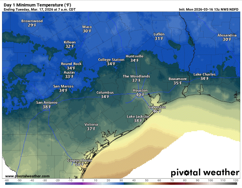
Tuesday morning will feature the coldest temperatures of the week as clear skies and light winds allow for good radiational cooling. This occurs when heat stored in the Earth’s surface escapes into the atmosphere and, with clear skies and no clouds to trap it, that heat is lost, allowing temperatures to fall quickly. Predawn temps at many locations will bottom out near freezing in Central Texas.
Winds will turn out of the south through the day and that will help temperatures climb into the middle and upper 60s.
Wednesday will be similar with a chilly start to the day, but we’ll get much warmer throughout the afternoon with highs climbing about 10 degrees warmer, into the middle and upper 70s.
While the surface high pressure system shifts to the east of Texas, a strong upper-level ridge of high pressure will develop across the western United States on Wednesday,
“The ridge will expand in size through late in the week into the weekend with its periphery nudging east across western portions of Texas,” the National Weather Service wrote in a forecast bulletin posted online Monday. “This, along with a continued light to moderate southerly flow, will allow for a warming trend for the remainder of the forecast period. Highs Friday through the weekend again climb to where the daily records could be threatened across the region.”
Despite the southerly flow of moisture-rich air from the Gulf of Mexico, humidity will remain low this week. Under plenty of sunshine, the threat of fast-spreading wildfires because of dry air and rain-starved vegetation will still be notable across the region. The Texas A&M Forest Service has placed Central Texas under a continued wildfire risk this week.