
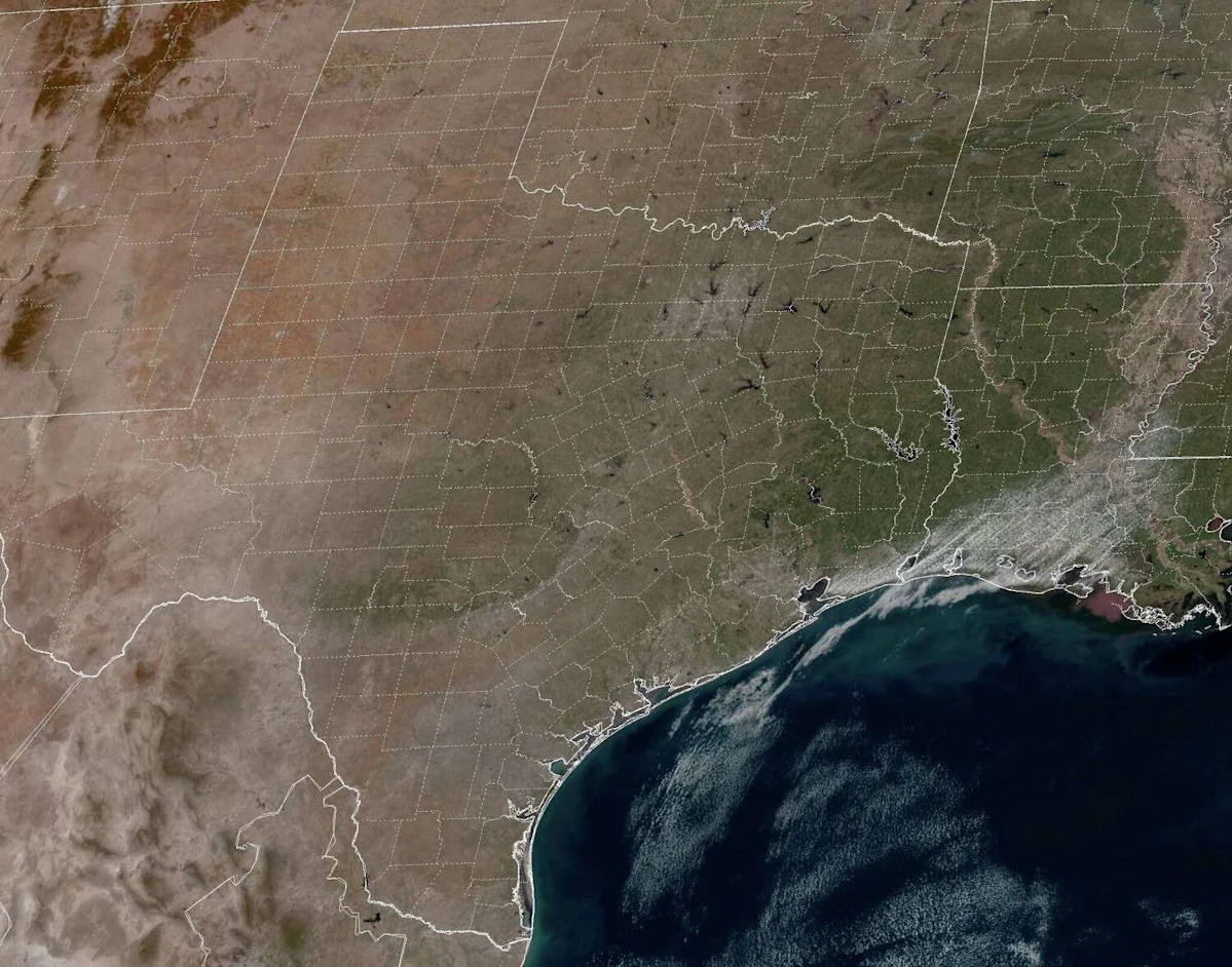
With the exception of a couple of days early last week, March has been exceptionally warm across Southeast Texas. Houston’s average high temperature this month has been 79.2 degrees, ranking as the city’s warmest start to March since 1908.
Additionally, 15 of the 21 days so far this month have had temperatures of 80 degrees or higher, which is highly unusual for this time of year. According to climate normals, high temperatures should be in the mid-70s into late March.
Unfortunately, above-average temperatures are expected to continue Sunday and into much of the upcoming week, as a ridge of high pressure lingers overhead. Long-range forecast models are starting to hint at some changes, though, by next weekend. Here’s what you can expect.
Sunday’s forecast
Early morning conditions will be pleasant, albeit muggy, across the Houston area. Temperatures will sit in the mid-60s through 8 a.m., and there’s also a chance of patchy fog across the region.
The fog will dissipate by the late morning, giving way to mostly sunny skies. Houston temperatures will rise steadily, reaching the low 70s by 10 a.m. and into the 80s by early afternoon.
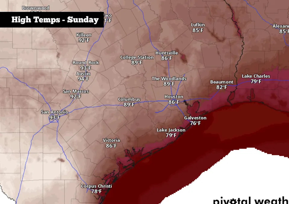
Shown are the expected high temps across the region on Sunday. (Pivotal Weather)
Afternoon high temperatures are expected to reach between 85 and 87 degrees, falling just shy of the daily record of 89 degrees set in 1916. South winds will be breezy, coming in at 10-15 mph, with periodic gusts likely to exceed 20 mph.
Staying warm this week
A weak cold front will push into parts of Central Texas early Monday morning. However, the front is expected to stall before reaching the Houston area, keeping the cooler air well to the north. While the Dallas-Fort Worth area will see high temperatures fall by 10-15 degrees on Monday, Houston will stay in the mid- to upper 80s.
High pressure will continue building over Texas through the middle of the week, keeping temperatures significantly above average. From Tuesday through Friday, Houston’s weather will remain very consistent, with highs between 85 and 87 degrees each day. Low temps will also be well above average, hovering in the mid-60s each morning.
Conditions will stay very dry throughout the week as well. While an isolated shower can’t be ruled out right along the coast, rain chances in the Houston metro will stay under 10%.
Long-term outlook
Looking ahead to next weekend and into the first week of April, long-range weather models continue to show a high likelihood of above average temperatures, with highs expected to stay in the 80s.
However, there is some uncertainty in the forecast this far out. The American GFS weather model, for instance, does show the potential of a cold front moving through Texas by March 28-29, possibly sending highs briefly back into the 70s. This front may also bring a slight increase in the chances of rain.
If the front does materialize, the cooler air likely won’t last for long. The Climate Prediction Center’s April outlook indicates above-average temperatures are likely across all of Texas.
This article originally published at How long will Houston’s weather stay hot? Here’s what to expect..