
So far, March 2026 is on track to be the warmest March on record in Austin, with an average temperature of 69.7 degrees. That is about a full degree warmer than the historical record of 68.9 degrees set more than a century ago in 1907 (despite having missing daily data) and the 68.7 degrees recorded in 2020, the warmest so far since 2000.
That warmth has translated into multiple records already, with four new record highs set this month, including a scorching 97 degrees on March 15.
For perspective, the all-time March record high in Austin is 98 degrees, set on March 28, 1971.
Looking ahead, Thursday could bring another tie, with a forecast high near 91 degrees — matching records at both Austin-Bergstrom International Airport (set in 1950) and Camp Mabry (set in 2022). This may be one of the last chances to challenge records this month, with another possible near-miss on March 31, when the record stands at 90 degrees, set in 2023.
Not only will Thursday be warm, but southerly winds will also pick up, increasing the wildfire threat across the region.
The Texas A&M Forest Service has responded to nearly 50 wildfires since March 1, including the Spring Pine Fire in Bastrop that sparked on Sunday. That fire has since been contained, but the overall threat of new wildfires remains high on Thursday, with winds gusting up to 30 mph.
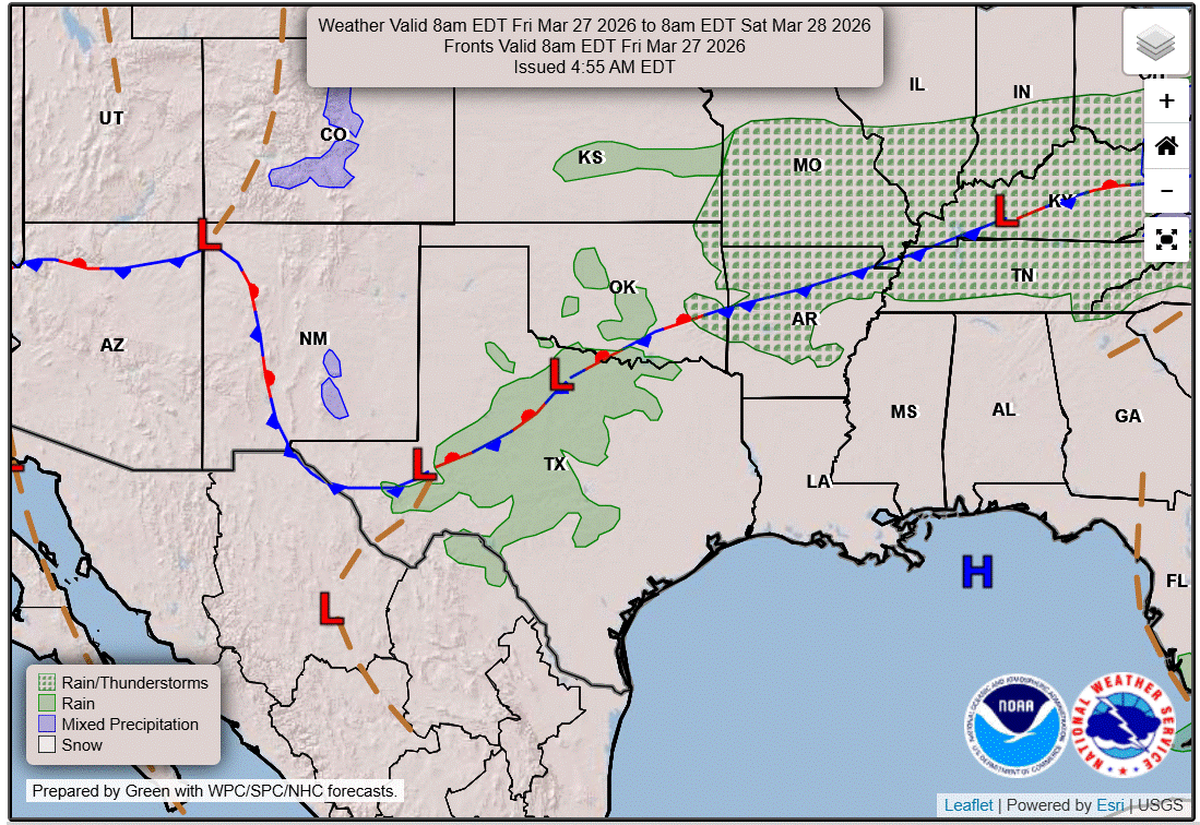
The ridge of high atmospheric pressure, which is producing a heat dome, will have the most influence on the forecast, so expect continued dry weather and above-normal temperatures on Friday. However, subtle changes are on the way as the high pressure begins to flatten with an upper-level trough of low pressure moving through the Great Plains.
This trough will help push some cooler air southward, sending a cold front into Texas. However, the front will lack moisture and atmospheric instability, so it is expected to move through Central Texas dry. One forecast model hints at a few showers late Friday night into early Saturday morning, but rain chances are currently below 20%.
The leading edge of the front will reach the Hill Country Friday afternoon, then move across Central and South Texas by Friday night, bringing gusty north winds and cooler temperatures for Saturday. Highs will range from the mid-70s to mid-80s.
Behind the front, high pressure will build back into Texas on Sunday and persist through midweek before another storm system approaches — one that could hopefully bring an end to our recent dry stretch.