
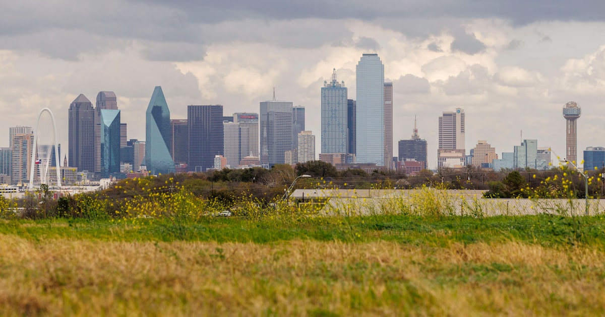
After days of high temperatures, seasonable spring weather should make a brief return to North Texas.
The hottest hours of the day will likely be in the early morning, with a high of 73 degrees. Temperatures are forecast to continue dropping until sunrise, reaching 64 degrees, before climbing back up to 70 around noon. Temperatures should slowly fall again Friday afternoon, reaching the upper 50s by midnight, according to the National Weather Service’s Fort Worth office.
Light rain showers could accompany the afternoon temperature drop.Chances of precipitation, present from 4 p.m. Friday to 7 a.m. Saturday,aren’t expected to rise above 20%. At most, North Texans should witness light sprinkles.
As the front moves in, wind gusts could also be strong>, maxing at 38 miles per hour. The breeze should calm some on Saturday, when overcast skies and an unseasonable chill is expected.
D-FW Weather Wise
The cold won’t last long, though — highs are forecast to return to the 80s on Sunday.
The latest Dallas weather forecast from KXAS-TV (NBC5):
FRIDAY: Partly cloudy, breezy and turning cooler. High: 78. Wind: N 15-25 mph with higher gusts.
SATURDAY: Partly to mostly cloudy and pleasant. Low: 52. High: 68. Wind: E 10-15 mph.
SUNDAY: Mostly sunny and warmer. Low: 52. High: 82. Wind: S 10-20 mph.
MONDAY: Partly cloudy and warm. Low: 61. High: 85. Wind: S 10-20 mph.
TUESDAY: Partly cloudy, breezy and warm. Low: 64. High: 86. Wind: S 15-25 mph with higher gusts.