
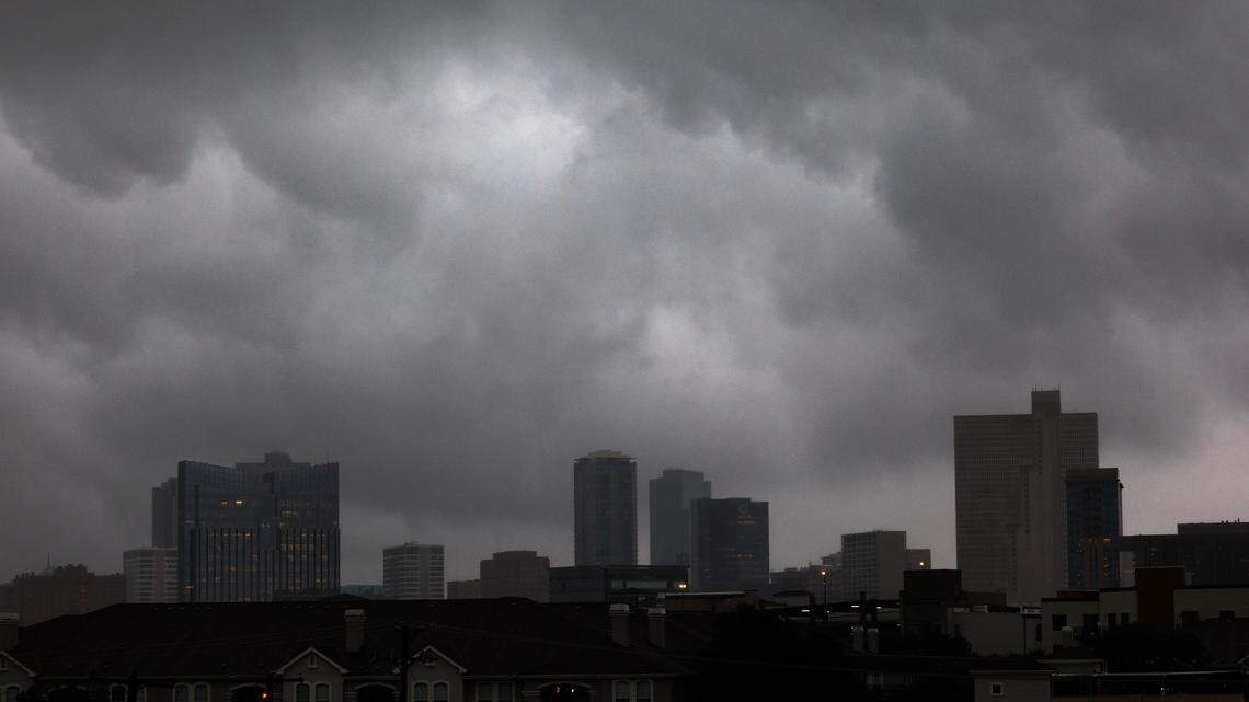

Storm clouds drop rain on downtown Fort Worth on Wednesday, April 30, 2025.
Amanda McCoy
amccoy@star-telegram.com
Fort Worth
After a warm week, North Texas is seeing a drastic cool down this weekend.
A cold front is pushing across the region on Friday, March 27, said Patricia Sanchez, meterologist at the National Weather Service Fort Worth. Daily highs were in the low 70s Friday.
Much of the region is already seeing cloudy skies Friday, which will stick around through Saturday.
Gusty winds are picking up Friday afternoon with some areas seeing gusts up to 35 mph, Sanchez said. Low rain chances in the 20-30% range will kick around the region on Friday evening between 7 to 10 p.m.
“It’s just going to be very light, if anything,” Sanchez said.
🔥 In case you missed it…
Outlook for the weekend and next week
The cold front will help cool down the Metroplex on Saturday with daily highs in the low 60s.
It will be a short-lived cooling period as temperatures will increase into the low 80s on Sunday, March 29. Warm temperatures will stick around for much of next week with highs ranging from the mid to low 80s through Thursday, April 2.
Rain chances return by midweek, beginning late Tuesday.
There’s a 20% chance of rain on Wednesday followed by a 50% chance overnight into Thursday, Sanchez said. Around a 20% chance of rain will also be in the mix during the day on Thursday.
Some rain chances could linger into Easter weekend, Sanchez said. One model is showing continuing activity through Saturday, another through Easter Sunday.
In the days leading up to next weekend, the NWS will have a better idea of what to expect.
Related Stories from Fort Worth Star-Telegram

Fort Worth Star-Telegram
Brayden Garcia is a service journalism reporter at the Fort Worth Star-Telegram. He is part of a team of local journalists who answer reader questions and write about life in North Texas. Brayden mainly writes about weather and all things Taylor Sheridan-related.