
After a week of summer-like heat and record highs, a cold front swept through Central Texas on Friday, putting that warmth on pause for a bit. The front delivered a noticeable shift in temperatures that is bringing the region back to more typical spring weather, along with a few light sprinkles.
Get outside early, breathe in and say “ahhhh!” as you take in the refreshing air behind our final cold front of March. Saturday morning will start in the lower to mid-50s under mostly cloudy skies, a few light showers, and some lingering gusty north winds.
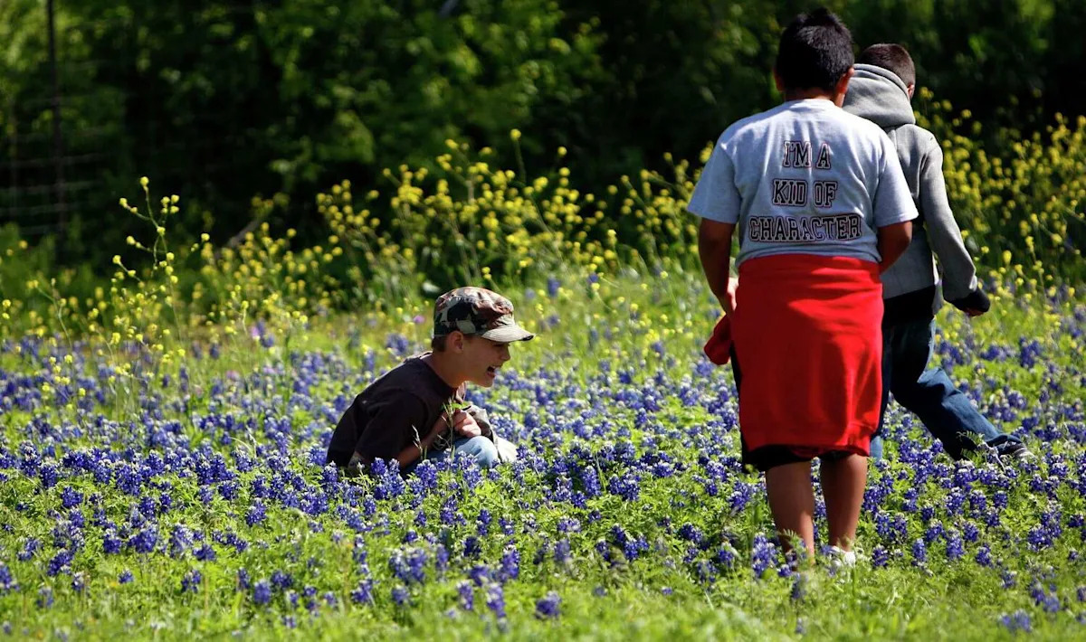
By midday, winds will relax and clouds will gradually decrease, with afternoon highs only reaching the mid-60s to low 70s, which is about 5 to 10 degrees below normal for late March. This will be the perfect weather to enjoy a training run for the Statesman Cap 10K, stopping by the local brewery with outdoor seating, or taking the kiddos out to the many Easter-related events across Central Texas.
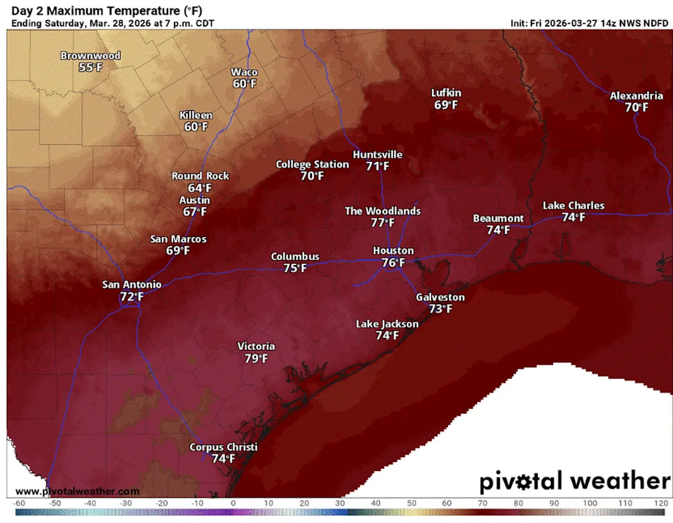
Afternoon temperatures on Saturday will feel comfortable, getting close or just slightly below our late-March average high of 75 degrees. (Pivotal)
Enjoy it now because it will only last about 24 hours. Northerly winds will quickly shift back to the south and southeast by Sunday afternoon, signaling another warming trend as we close out the month on Tuesday.
The quick rebound in temperatures won’t be felt until Sunday afternoon, so go ahead and enjoy that hot coffee on the patio Sunday morning, with temperatures in the 50s. By the afternoon, temps will climb into the lower to mid-80s.
As we start the work week, expect mornings in the 60s and afternoons back in the 90s, flirting with record highs once again and solidifying March 2026 as Austin’s warmest on record.
We won’t approach records on Monday, which sit in the middle to upper 90s. However, Tuesday’s temperatures could be closer to the record of 90 degrees set in 2023 at Camp Mabry and 89 degrees set in 1974 at Austin-Bergstrom International Airport, Austin’s two main weather observation sites.
We can see a glimmer of hope for some beneficial rain on Wednesday — yes, that’s April 1 but it’s no joke. Forecast models are becoming more interesting for Wednesday and Thursday, suggesting showers and thunderstorms along a dry line between arid and humid air masses and the boundary of a cold front.
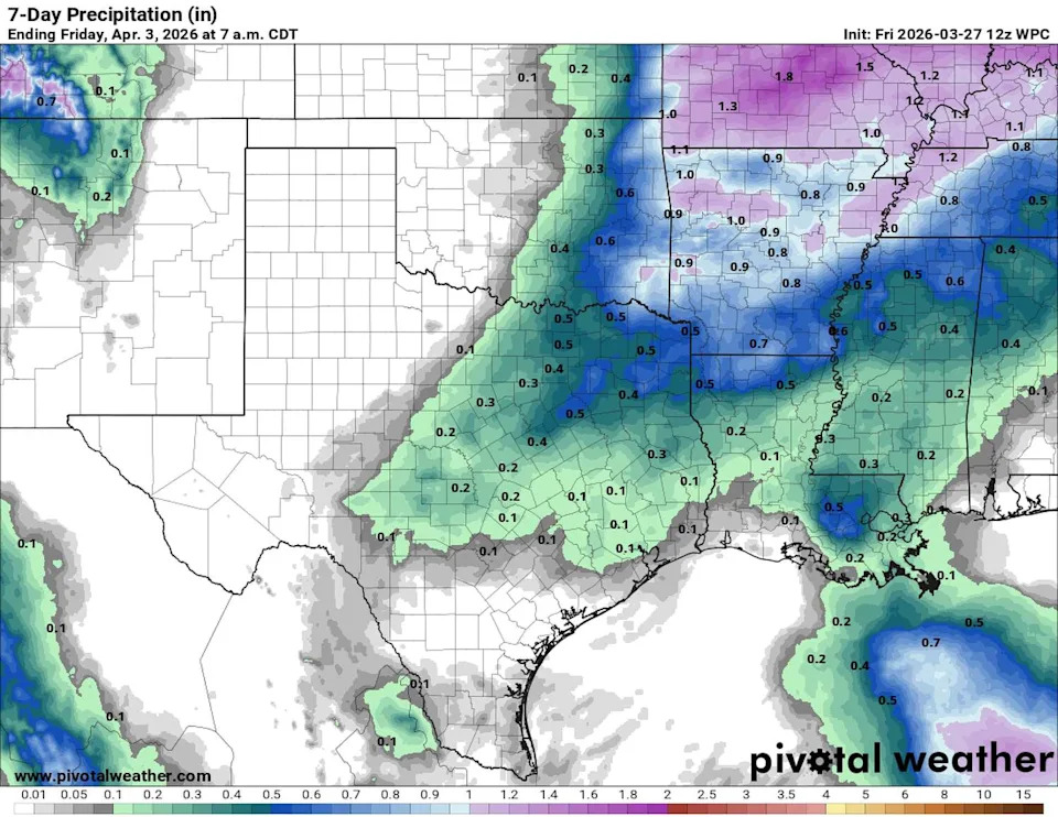
A series of cold fronts will move through over the next two weeks, leading to wetter weather across Texas. The first front arrives Wednesday into Thursday, bringing a 30% to 40% chance of rain with rainfall totals of up to a quarter-inch. (Pivotal)
Beyond that, a more active pattern may return during the second week of April.