
Through Tuesday, areas across Texas are seeing higher than usual temperatures. In the Houston area, highs are likely to stay in the low-to-mid 80s. Up in the Dallas-Fort Worth metroplex, it’ll be solidly in the mid-80s, and up in the Texas Panhandle temperatures are expected to cross 90 degrees and set new one-day records.
But a cold front is coming, with forecasters in the Amarillo area expecting it to arrive in Texas on Tuesday.
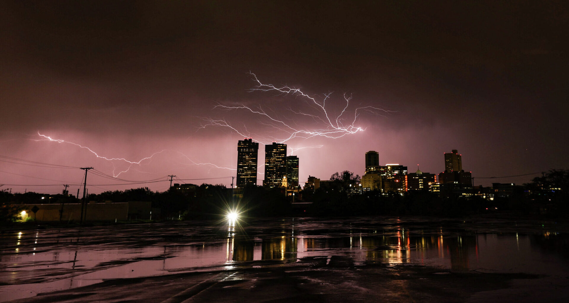
Forecasters say gusty winds could also come through far North Texas with showers possibly developing Wednesday. Those showers could impact the Dallas-Fort Worth area by Wednesday night. The NWS in Dallas-Fort Worth is currently forecasting a chance of thunderstorms both Tuesday and Wednesday night; highs those days should still be in the 80s, as the cold front isn’t expected to change the temperature much.
In Southeast Texas, forecasters expect cloudier skies as the week continues, with high temperatures in the 80s each day. By early Thursday morning and into the day, however, thunderstorms could arrive in the Houston area.