
March is wrapping up much like it began — feeling more like summer than spring, with plenty of sunshine and unseasonably warm temperatures. San Antonio temps on the final day of the month are expected to stay just below our record of 93 degrees set in 1946.
It’s a fitting end to an exceptionally warm month, and one that’s headed for the record books as San Antonio’s second-hottest March. An average daily temperature of 70.7 degrees for the month is just shy of the all-time March record of 71.1 degrees from 1907.
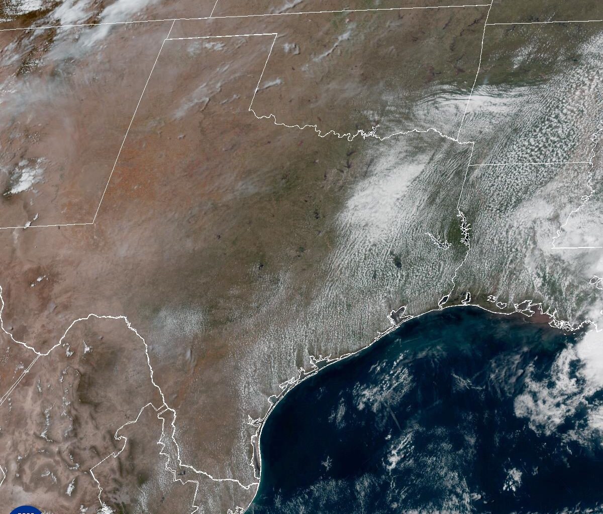
Rainfall has also been well below average. San Antonio has picked up just 0.44 inch of rain this month, about 1.8 inches below normal for the month to date. That lack of rainfall and gusty winds have contributed to multiple days of a moderate and high threat of fast-spreading wildfires across South Texas as dry weather persists into the last day of the month.
The good news is that we’ll see a pattern shift to wetter weather as we welcome April, solidifying the old saying, “April showers bring May flowers.”
“We begin to get into a more active period as a dry line (separating dry and humid air masses) that sloshes back and forth out in West Texas tries to make its way eastward into possibly Val Verde County by Tuesday evening,” meteorologists at the National Weather Service wrote in their forecast discussion on Monday. “Elsewhere, the forecast remains dry until this dry line propagates farther eastward Wednesday, helped along by an upper-level trough (of low atmospheric pressure) pushing across the area.”
Forecast models have been hinting for several days at a significant storm system moving through South Texas during the middle of the week, and we are now getting within range of the short-term models to better pinpoint the timing. Models agree that most of Wednesday will remain dry until later in the evening and overnight.
Wednesday morning will start overcast and warm, with light south winds and temperatures in the mid- to upper 60s. By the afternoon, winds will become gusty, leading to another day with an elevated wildfire threat. Temperatures will climb into the upper 80s and lower 90s under a mix of sun and clouds.
Later in the evening, a line of thunderstorms will approach from the northwest and move across South Texas late Wednesday into the overnight hours.
While a few strong to severe storms are possible, especially given the time of year, the late timing of the front might limit atmospheric instability. But pockets of heavier rainfall remain possible, particularly if the system slows down. Rainfall totals will range from a quarter-inch to a half-inch.
More rain and thunderstorms are likely this upcoming holiday weekend with another inch to 1.5 inches through Easter Sunday.
While we typically don’t want too much rain in a short period, South Texas is becoming increasingly desperate for it. We’ve been in a significant drought for multiple years, with a rainfall deficit of about 45 inches in San Antonio since 2022.
Since Sept. 1, 2025, we’ve picked up just over 5 inches of rain, compared to a normal of around 18 inches over the same period, leaving us with a 13-inch rainfall deficit from normal.
As of last week, South Texas along and east of the Interstate 35 corridor is experiencing extreme drought, the second-worst level according to the U.S. Drought Monitor. At least 159 Texas counties, including Bexar, Comal, Guadalupe, Medina and Kendall, are under burn bans until we receive more substantial rainfall.