
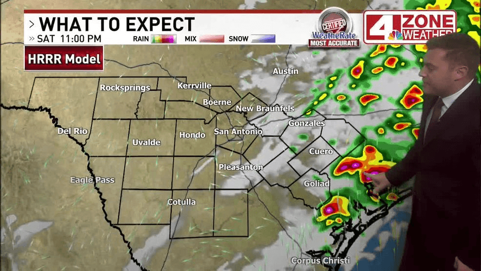
SAN ANTONIO – Scattered thunderstorms over the Austin area and Coastal Plains will move out of the area to the east overnight, leaving calmer conditions throughout South-Central Texas by morning.
Expect a mix of partly to mostly cloudy skies overnight with light winds. Some patchy fog is possible in the morning.
Comal County saw a tornado warning overnight, with reports of high winds knocking down power lines and trees. Our overnight crews in the area found no damage.
FM 306 has reopened following storm related closures overnight, according to officials with the Texas Department of Transportation (TxDOT).
TxDOT says although the road has reopened, crews are still working to repair cross lines so it may briefly close again.
SATURDAY NIGHT:
Turning Clear
LOWS: Lower 60s
WINDS: Turning N 6 – 12mph
Skies clear as storm system pushes east. A comfortable night with humidity slowly lowering.
SUNDAY:
Mainly Sunny, Warm
HIGHS: 85 – 89
WINDS: N 5 – 10mph
Mainly sunny skies. A pretty nice day.
MONDAY:
Mainly Sunny, Hot
HIGHS: 89 – 93
WINDS: SSE 5 – 10mph
Mainly sunny and unseasonably hot to start the week. A strong cold front arrives Tuesday.