
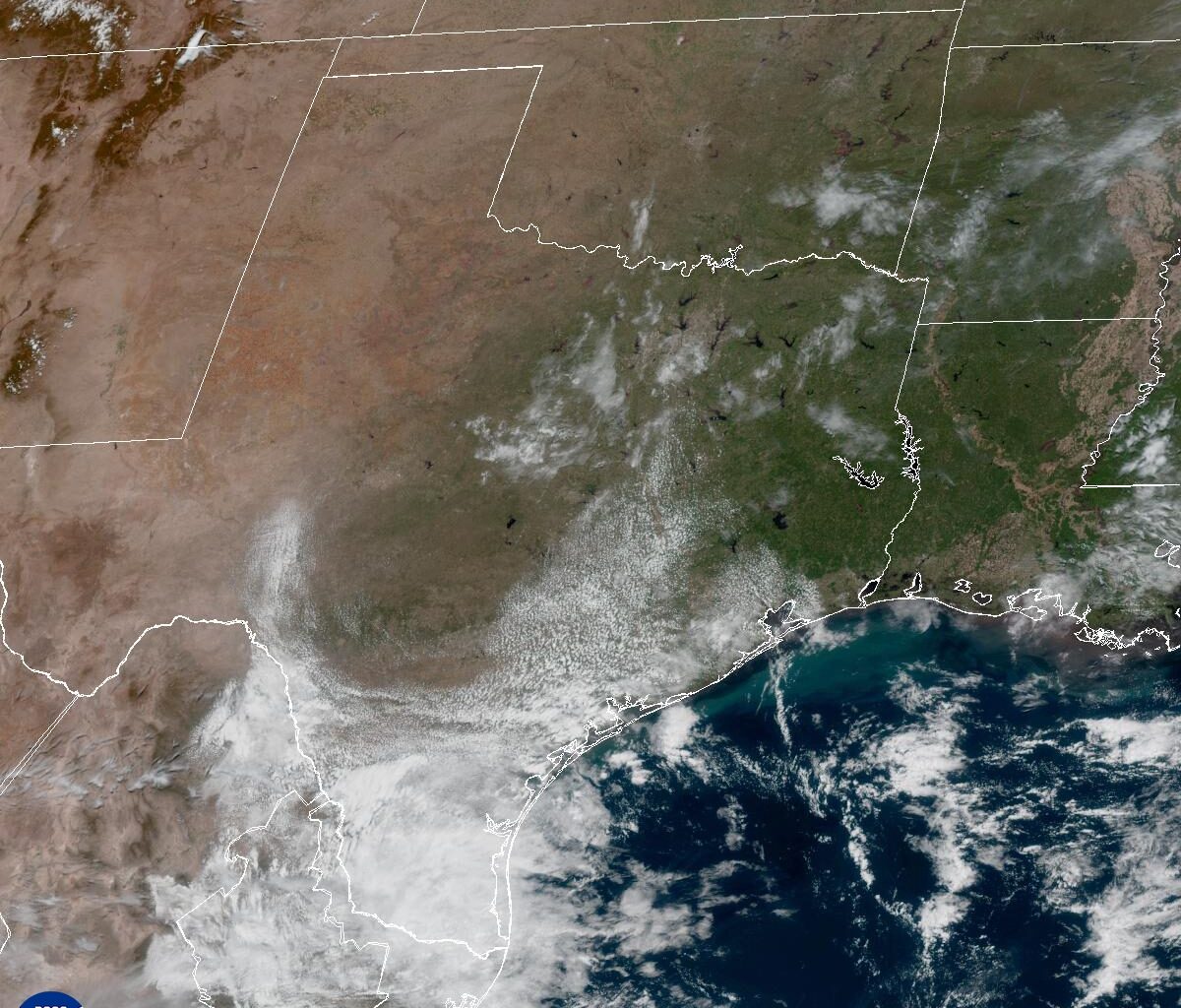
Clouds will take over Central Texas again on Thursday as moisture streams in from the Gulf.
National Weather Service
After a stretch of dry, comfortable weather, the Lone Star State is heading back into a more active pattern, with a four-day threat of severe storms and pockets of heavy rainfall on the horizon.
While Central Texas could certainly use the rain, the timing isn’t ideal, as weekend storms may disrupt several major events, including the Austin Earth Day Celebration and Zilker Kite Festival on Saturday, along with the Statesman Cap10K race on Sunday.
Article continues below this ad
While most events will continue rain or shine, the threat of thunderstorms could bring the festivities to a halt.
“The race will start regardless of precipitation,” Cap10K organizers said on their website. “The race will only be cancelled if weather conditions present imminent danger to participants and any announcement concerning a change to the race day schedule will be communicated by email, Facebook and Instagram.”
We’re still a couple of days away from the weekend, but the National Weather Service’s Storm Prediction Center is already highlighting parts of Texas for a risk of severe weather, while the weather service’s Weather Prediction Center is noting the potential for localized flooding with any heavy rainfall that occurs.
Article continues below this ad
Severe weather is possible in West Texas on Saturday and then across Central Texas on Sunday with the main threats being large hail and 60-mph wind gusts.
Storm Prediction Center
What is the Thursday forecast?
We’ll wake up to an overcast sky with spotty showers, mainly east of Austin and near the Coastal Plains. Temperatures will be warmer than in the past few mornings, with starts in the upper 50s and lower 60s. By the afternoon, clouds will break away a bit, allowing for an increase in atmospheric instability, which will produce a few isolated thunderstorms across Central Texas. Rain chances will be about 30-40%.
While attention is focused on the potential for severe weather across Texas this weekend, a few thunderstorms with brief, heavy downpours could develop as early as Thursday afternoon in Central Texas. #txwx pic.twitter.com/C7P7OHsQYo
— Mary Wasson (@Mary_Wasson) April 8, 2026
Afternoon temperatures will climb to their warmest levels of the week, with peak temps ranging from 78 to 84 degrees amid south-southeast winds.
Article continues below this ad
What is the forecast for Friday?
Some showers and thunderstorms could linger overnight Thursday into Friday morning. Later in the day, we could see a bump in weather activity in the afternoon as a series of atmospheric disturbances move into Texas from the desert Southwest and from northern Mexico.
A strong atmospheric disturbance will move over Texas beginning on Friday and traveling northeast through the weekend.
Weather Prediction Center
“Most guidance indicates somewhat limited (wind) shear this day, which would support more disorganized, scattered storms,” weather service meteorologists wrote in their Wednesday forecast discussion for Austin and San Antonio. “This changes as we move into the weekend, as a strong trough (of low pressure) moves over the western U.S. and instability, shear and lift increase over South-Central Texas, which would support severe thunderstorm potential which (the Storm Prediction Center) continues to highlight for some of our area Saturday and Sunday.”
Article continues below this ad
What is the weekend forecast?
A strong disturbance will move across Central Texas through the weekend, bringing periods of rain and a few thunderstorms. While it’s still too early to pin down exact timing, Saturday morning is shaping up to be mostly dry with just a few sprinkles. By the afternoon, light showers and a few isolated thunderstorms are expected to develop, with temperatures rising from the mid-60s in the morning to near 80 degrees that afternoon.
We could see a brief break in the rain early Sunday, but as temperatures warm up, the scattered showers and thunderstorms could resume. At this point, we’re not expecting a solid line or a large complex of storms. Instead, beware of scattered rain throughout the weekend.
Article continues below this ad
Rain and storms will be intermittent through the weekend in Austin, with pockets of heavy rainfall possible.
National Weather Service
Rainfall totals could add up, with 1 to 2 inches possible by Monday. Looking ahead, a secondary trough developing to our west early next week will keep rain chances in the forecast.