
Texas Panhandle towns from Dalhart to Amarillo are under a hazardous weather outlook through Sunday as the storms breached the border of the Lone Star State Friday, April 10. The highest risk of severe storms, including damaging winds or large hail, is Saturday through Sunday in this region.
“Scattered thunderstorms are possible Saturday with some potentially to severe [with] all hazards at play. Flooding is also possible,” the National Weather Service Amarillo office outlook states. “The far eastern combined panhandles may see strong to severe isolated thunderstorms on Sunday as well.”
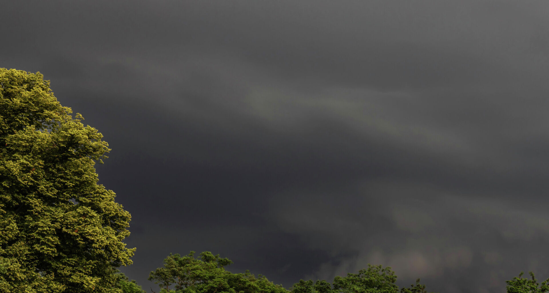
Once the troublesome thunderstorms pass over on Sunday, the area should actually see a sunny week. The same can’t be said for the rest of Texas.
Storm clouds will loom over West Texas for more than a week as thunderstorm odds linger through at least Thursday. But the first round of storms this weekend on Saturday will bring the greatest risk to the region. From Midland up to Tatum and own to Sanderson, the NWS office warns a few strong storms may develop. Plus, it says most of the area should be hit with showers.
“The main threats will consist of damaging winds, large hail, and flash flooding,” the office warned Friday morning, pointing to specific areas like Tatum, Fort Stockton, Midland and Odessa.
It’s a similar story for North Texas, though severe storms will likely hit a bit later on Sunday evening. Thunderstorm and shower chances began Friday and continue to hover over major cities like Dallas and Fort Worth through the end of next week.
“A second round of scattered showers and storms may also develop east of I-35 later Sunday evening into early morning. With a reasonable combination of shear and instability, the potential for damaging wind and large hail will exist primarily over western North Texas during the day Sunday,” the NWS Dallas-Fort Worth office says. “Isolated tornadoes can’t totally be discounted either.”
This widespread storm system first arrived in San Antonio not long after hitting the Dallas-Fort Worth metroplex Friday. By Saturday night, San Antonio and the Texas Hill Country will be under a marginal risk for severe storms, including hail and strong winds – and even potential flash flooding in isolated areas.
The scope of that severe storm risk expands by Sunday, covering areas well south of San Antonio as greater risk heads toward the Alamo City and nearly overlap with the Texas Hill Country. But even as the severe weather risk passes, stormy skies are expected in South Central Texas through midweek.