
Watch a livestream of the radar, weather cameras and current conditions in the player above. There is no audio on this feed.
LUBBOCK, Texas (KCBD) – It’s been a mild and breezy Saturday for most here in the South Plains today. Showers and storms have continued to build to the southwest of the area and move in throughout the afternoon, along with persistent cloud cover today.
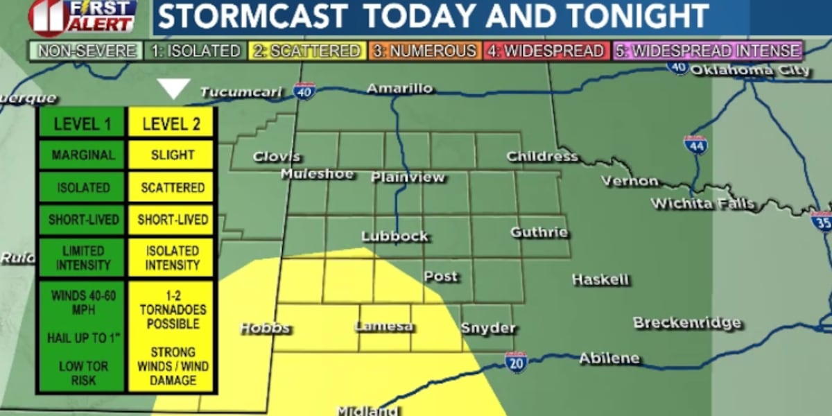
The good news: It appears as though this event won’t be as severe as we were initially anticipating for as much of the South Plains. The NWS has also downgraded Lubbock to a Marginal (1/5) Risk from the Slight (2/5) Risk we were under yesterday.
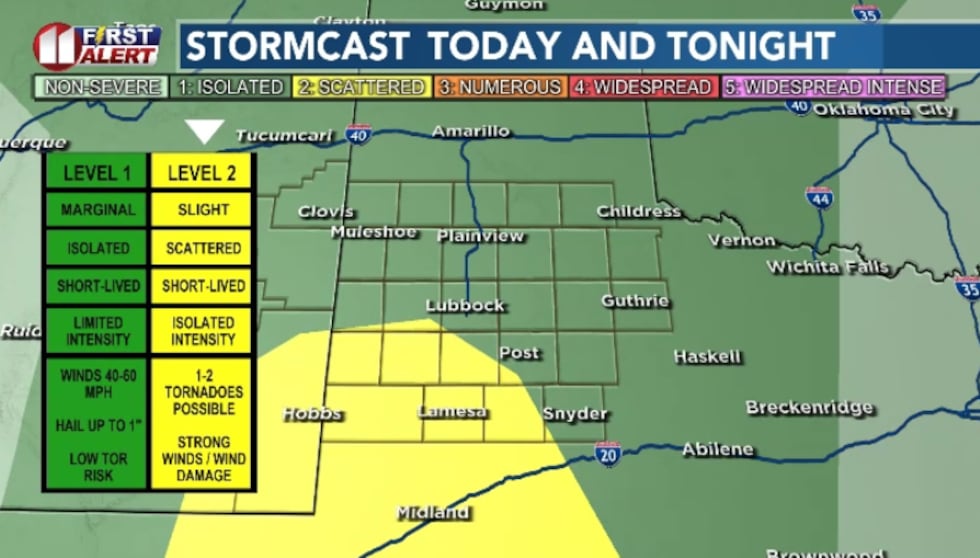 The biggest threat for severe weather has shifted to the south of Lubbock for today. A Marginal (1/5) Risk and Slight (2/5) Risk is in effect for the South Plains.(Dylan Smith)
The bad news: This event isn’t as widespread as we were expecting and won’t drop quite as much rain for the area as initially anticipated.
TONIGHT
As we gear up for the early overnight hours, we’ll see the best chances of more widespread coverage of rainfall as well as strong to severe storms for some of the South Plains.
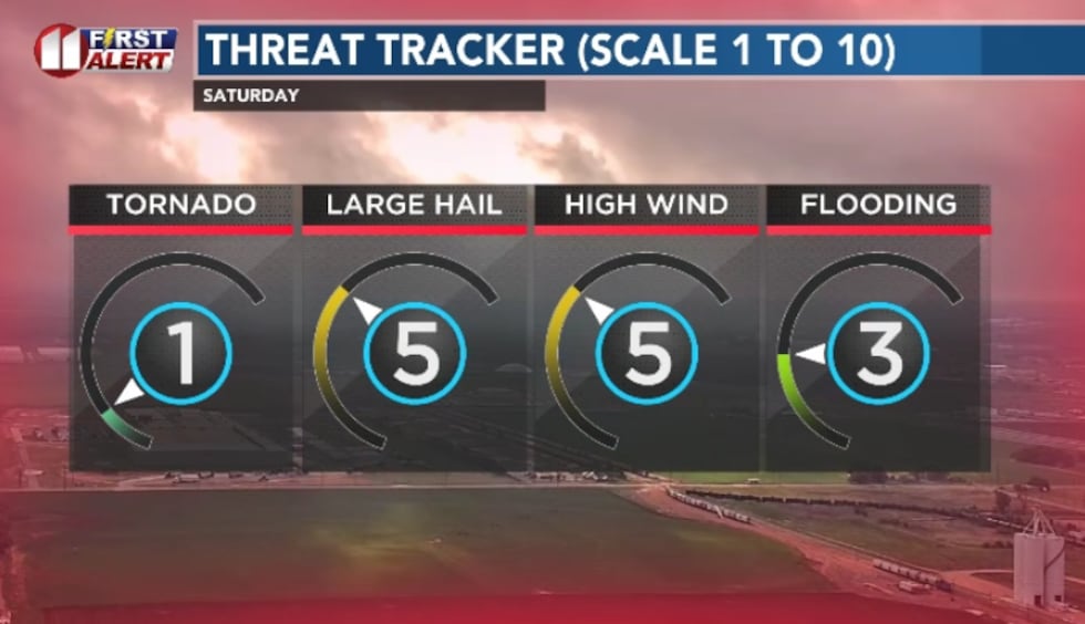 If we see severe thunderstorms, I anticipate large hail and strong winds to be the primary threat. If we see some training, localized flooding threats will crop up for some.(Dylan Smith)
Most models are indicating that anything strong that develops will push out of the area close to midnight through 1am, with the heaviest areas of rain likely being in our southeastern counties.
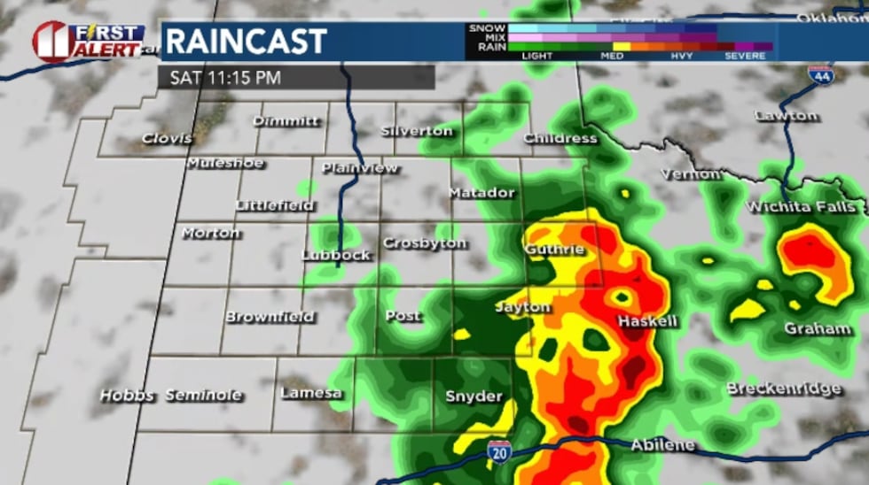 The timing of storms are typically showing the threats of most heavy rain to be moving to the east of the area by around midnight to 1am.(Dylan Smith)
SUNDAY
A dry-line will set up east of the Lubbock in the afternoon hours. There’s a small chance that the dry-line shifts a little further west into our eastern counties and we see some convective storms in our eastern counties.
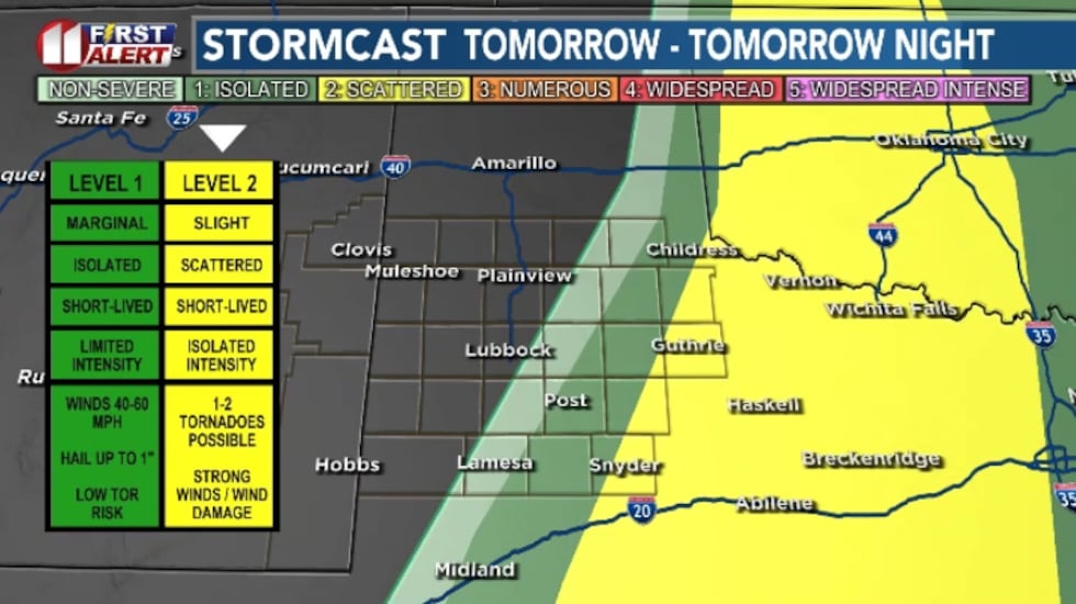 The threat for storms and rain in general will shift east of Lubbock/South Plains thanks to a dry-line setting up generally to the east of the area.(Dylan Smith)
This will lead to the majority of convection Sunday forming east of the area and staying/moving further east as the day progresses.
As severe season gets underway, catch our First Alert Weather Extra tomorrow for a look at a recap of the 2025 severe season, how the NWS operates during severe weather and what it takes to chase storms safely and some changes to severe weather heads up’s from the NWS!
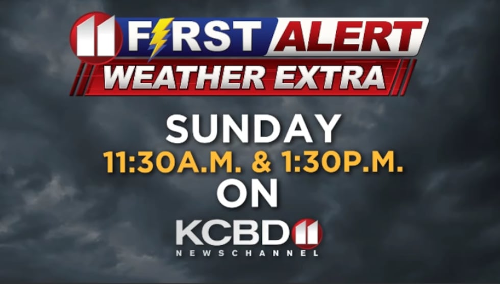 Tune in Sunday at 11:30am and 1:30pm to catch our weather extra!(Dylan Smith)
NEXT WEEK’S WEATHER PATTERN
We’re maintaining a slightly unsettled weather pattern and for now that means not much in the way of rain or severe weather for the foreseeable future. Temperatures will remain somewhat consistent in the 80s after the cooler temperatures of Saturday. We could be talking about a decent cold front arriving late next week and into next week potentially but for now there’s not much of note in the immediate future.
Copyright 2026 KCBD. All rights reserved.