
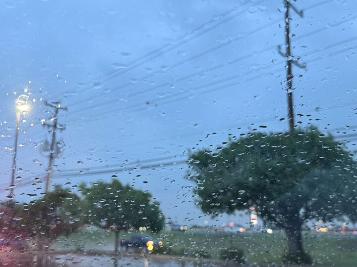
Parts of South Central Texas could be hit with “life-threatening flooding” as confidence from the National Weather Service in rainfall has increased throughout the area.
The NWS has issued a Flood Watch near the San Antonio-area in the I-35 corridor as scattered showers continue to impact the region. “While there will be areas that don’t receive heavy rainfall, there is a potential for a band of heavy rainfall that could lead to flooding somewhere in the watch area this afternoon (Sunday, April 12) and tonight,” the NWS said.
The Flood Watch has been issued for portions of the I-35 corridor and Coastal Plains through 7 a.m. Monday, April 13. “There is a potential for life-threatening flooding somewhere in the watch area,” the NWS said. “Within the area, [rain] amounts from 2-4 inches with localized amounts from 5-10 inches are possible. Storms will have the potential for high rain rates which could quickly lead to flash flooding.”
There is a level 2 of 5 risk for severe weather into Monday morning, with large hail and damaging winds as the primary severe risks in the area.
As for San Antonio, showers and thunderstorms are more likely to fall mainly after 1 p.m. on Sunday. The NWS says some storms have the potential to be severe, with a 60% chance of precipatation in the area. “New rainfall amounts between a quarter and half of an inch possible,” they added. Into Sunday night, a 40% chance of storms lingers into Monday. A 20% chance of rain stays put through Monday night and will eventually diminish into Tuesday, April 14, before rain chances could return Wednesday, April 15.