
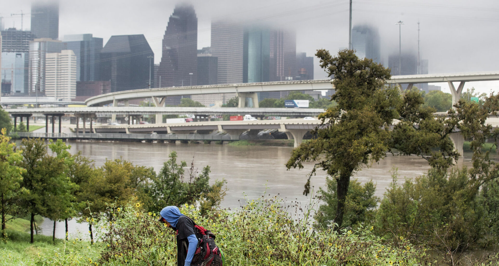
While the exact timing is still uncertain, forecasters expect the cold front to arrive late Saturday or early Sunday, according to the National Weather Service (NWS) Houston-Galveston Office. Behind it, temperatures could potentially drop into the upper 50s.
The chance for cooler temperatures increases in Northern Houston, according to the NWS Houston-Galveston Office.
“The probability for low temperatures below 60 degrees increases to 50-70 (percent) for areas north of I-10 and 20-40 (percent) elsewhere for Saturday night,” the NWS Houston-Galveston Office wrote.
On Sunday, a low of 60 degrees is forecast, with AccuWeather Houston meteorologists noting a breezy morning.
The NWS Houston-Galveston office predicts a higher chance of chilly weather Sunday.
“For Sunday night, these probabilities increase to 60-90 (percent) for the Brazos Valley/Piney Woods and 20-50 (percent) elsewhere,” forecasters wrote.
During the day on Saturday, NWS Houston-Galveston forecasters predict a 30 percent chance of thunderstorms, increasing to 40 percent in the evening.
Similarly, AccuWeather Houston is predicting a cloudy Saturday, with thunderstorms in the afternoon. Forecasts anticipate a 55 percent chance of rain, bringing about 0.08 inches in total.
Another cloud day is in the cards for Sunday, but perhaps a drier one. AccuWeather Houston is predicting a 12 percent chance of rain Sunday.
The NWS Houston-Galveston Office anticipates mostly cloudy skies, with a 20 percent chance of showers during the day.
“There’s plenty of time for the forecast to change and evolve, but the probabilities for seasonal temperatures are looking good!” the NWS Houston-Galveston office wrote.