
Current Radar:
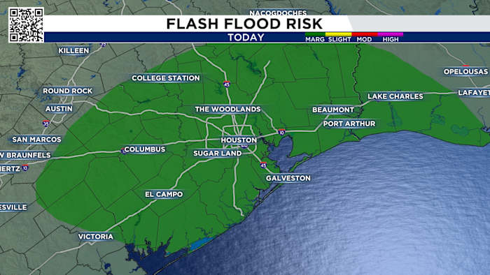
We have rain chances through Wednesday afternoon. You can check out our current radar below:
Wednesday’s Forecast:
Wednesday morning looks calmer before things ramp up again later in the day. There could be an isolated shower or storm, but most will not have any issues for the morning commute.
7AM Wednesday
As we head through the day, we will see showers and storms become more widespread, especially after lunchtime. This means you could be dodging rainfall for any after school pick-ups.
3PM Wednesday
Timing for afternoon storms on Wednesday look to be most likely from 2 p.m. – 8 p.m. The highest threat of heavy downpours and thunderstorms will be for locations east of I-45, but everybody will have the chance of seeing storms.
Plan for extra time on the roads and keep your umbrella handy.
6PM WednesdayYour extended forecast:
Looking ahead past Wednesday, the organized rain systems leave our area. Small rain chances, around 20%, could linger thanks to the warmth and humidity, but no organized storm systems are expected after mid-week.
You’ll notice May is on the 10 day forecast, and we can expect a much more summer-like forecast. Highs in the 80s with humid conditions and isolated afternoon showers and storms.
10 Day Forecast
Have storm or flood photos from your neighborhood? Share what you’re seeing with the KPRC 2 Weather Team through Click2Pins at click2houston.com/pins/.
Anthony’s Weather Lab
More Stories Like This In Our Email Newsletter
Copyright 2026 by KPRC Click2Houston – All rights reserved.