

A new traffic pilot project recently received a nearly $1.75 million grant from the
U.S. Department of Transportation to address pedestrian-involved and failure-to-yield
crashes.
CREATORS


A new pilot project spearheaded by researchers from the Edward E. Whitacre Jr. College of Engineering at Texas Tech University hopes to create safer traffic conditions for pedestrians and drivers by providing
real-time warnings. This comes at a time when pedestrian deaths nationwide have risen
by 50% since 2014, as reported by the National Highway Traffic Safety Administration.
Pedestrian-involved and failure-to-yield crashes are especially pronounced in rural
areas where roads are not well lit at night, designated crosswalks are spread far
apart or not present and traffic can be infrequent and move at higher speeds than
urban or suburban areas.
The Texas Department of Transportation (TxDOT) reported 772 pedestrians died on Texas
roads in 2024. While this is a slight decrease from the 808 pedestrian deaths reported
the previous year, it’s still an increase of nearly 60% since 2014. Failing to yield
the right-of-way was identified as a major factor for severe and fatal crashes for
both pedestrians and drivers, especially in West Texas.
The project is co-led by Hongchao Liu, professor in the Department of Civil, Environmental & Construction Engineering, and Changzhi Li, associate academic dean of research and graduate programs in Electrical & Computer Engineering.

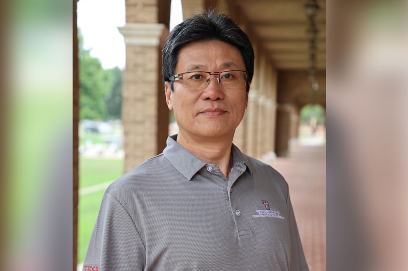 Changzhi Li and Hongchao Liu
The team recently received a nearly $1.75 million grant from the U.S. Department of
Transportation to pilot and evaluate a real-time warning and data collection system
that uses light detection and ranging (LiDAR) technology to address pedestrian-involved
and failure-to-yield crashes.
Over four years, the team will collect year-round data on driver and pedestrian behavior
and near-miss incidents, compare locations with and without the system, and refine
the system accordingly. The team will also develop deployment guidance to support
broader implementation.
“We chose to use LiDAR because it would not infringe on pedestrian and driver privacy
and does not need external illumination, making it well suited for rural environments,”
Liu said. “By rotating a full 360 degrees, it captures and monitors every movement
in the surrounding area without blind spots.”
According to Liu, Lubbock serves as a representative example of rural and semi-rural
West Texas. Since 2016, Lubbock has seen pedestrian-involved crashes increase by over
40% and failure-to-yield crashes increase by over 22%. Some of the Lubbock high-crash
corridors include U.S. Routes 84, 62 and 70, South Loop 289, Interstate 27, state
Highway 114 and 82nd Street.
The LiDAR devices will be installed at crosswalks between intersections and integrated
with existing stop signs at select high-risk intersections located throughout the
South Plains Association of Governments (SPAG) region, which includes Lubbock County
and 14 other surrounding counties.
Along with LiDAR-based hardware, the system will use algorithms designed for processing
point cloud data onsite and structuring decision-making frameworks. Data will be collected
every tenth of a second when the devices are active, which should allow for real-time
warnings.
Consider the ways rural highways differ from urban roadways. The infrastructure is
updated far less frequently, lighting can be sparse and the travel speeds are considerably
higher. These factors create more severe safety risks for pedestrians and drivers.
While lights on signals and signs can initially be effective at capturing a driver’s
attention and lead to more cautious driving, the long-term effects tell a different
story.
“TxDOT reports after about six months, people become used to the lights and start
ignoring the signs,” Liu said.
In comparison, the team’s devices would provide an additional layer of protection
by delivering real-time warnings when potential hazards are detected ahead at a specific
moment.
Liu notes that radar will also be evaluated because the devices will need to cover
a range between 300 and 400 meters, roughly a quarter of a mile, at high speed corridors.
The devices will always be on but would only automatically trigger a flashing light
to warn drivers once a pedestrian, another vehicle or other potential hazard is detected.
“This way, people will realize when the sign is flashing they have to be careful because
pedestrians are present or traffic is approaching,” he said. “Psychologically, this
works quite differently.”
The devices will also collect and analyze data, creating a dashboard tool for the
SPAG counties. The hope is this can offer officials access to data on pedestrian-involved
and failure-to-yield crashes quicker and provide trends and predictive analysis.
If this pilot project is successful at its current demonstration phase, Liu says it
will enter an implementation phase where the devices will be used in a larger area
to better show their effectiveness.
At his core, Liu is an engineer in applied transportation. His work, as this project
shows, is predicated on the idea that his research can be applied in the real world
and have meaningful impact far and wide across Lubbock, West Texas and the U.S.
“My goal is to ensure that the work I have done can bring meaningful benefit to people,”
he said. “If our work can help prevent even a single fatal crash and save one or two
lives, that would be deeply meaningful to me.”