
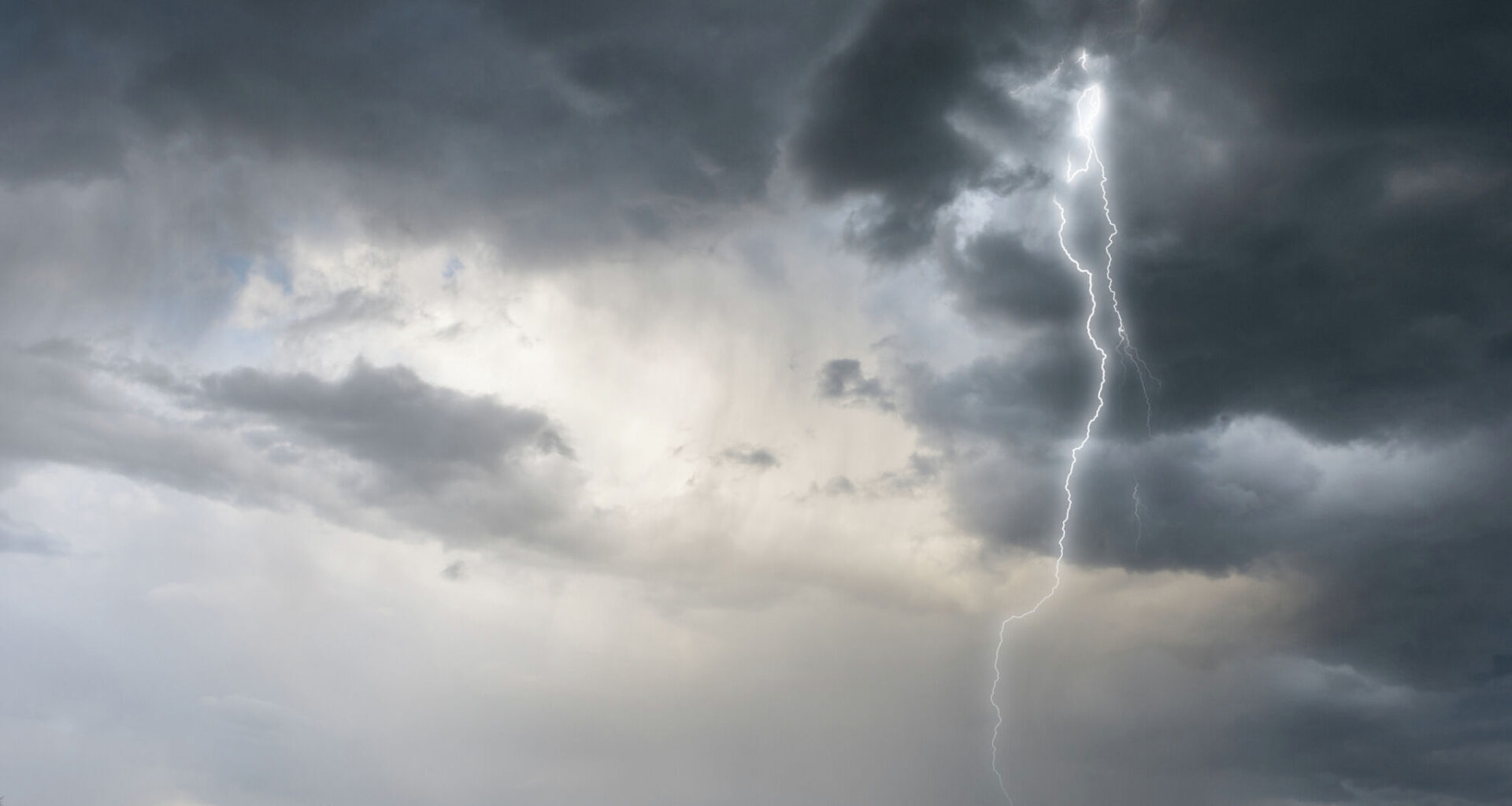
A cold front is moving across Texas and will pass through quietly. The National Weather Service (NWS) says several major cities, from the North to the South-Central regions, are at risk for severe storms.
Forecasters say San Antonio and some of its surrounding area towns, like Austin and Fredericksburg, might see they’re likely to form after 1 p.m. on Thursday, April 29. These places are currently looking at a 35 to 55% chance of rain.
However, the main threats are large hail, damaging wind gusts, frequent cloud-to-ground lightning, and high water in some neighborhoods.
“A Flood Watch could be issued on Thursday morning,” the NWS said in its forecast discussion, adding that it would be monitoring the situation.
The gloomy conditions would hit after 1 p.m., per the seven-day forecast. Around this time, it will be cloudy, and wind gusts could reach up to 20 mph. It won’t be too frigid, though. In fact, it will be the warmest day of the week with a high of 81 degrees. Moving forward, that number will remain in the 60s and 70s.
Things will take a shift after sunset, according to the agency. The rain chance shoots up to 80%, and the temperature is expected to drop to 61 degrees, setting the stage for Friday, May 1, when the front fully settles in.
“There are signals for isolated 1 to 3 inches with up to 6 inches over the Hill Country and parts of the I-35 Corridor, including the Austin and Georgetown areas,” the NWS said.
Meteorologists previously mentioned that the front is moving in from counties near Dallas. It pushed over the Hill Country, Interstate 35 Corridor, and Coastal Plains on Wednesday, April 29. Expect temperatures as low as 52 degrees in San Antonio this weekend.
Widespread showers and thunderstorms will form after 4 p.m. on Thursday, the NWS said. The high shouldn’t crack 66 degrees, but wind gusts may be 20 mph during the daylight hours. There’s a 60% chance of rain through the evening.
“The primary concerns will be with lightning and potential flooding from periods of heavy rain, particularly across Central Texas,” the agency said.
Large hail hitting parts of the region south of US-84 can’t be ruled out, but forecasters say it’s not likely. The NWS predicts 2.5 to 4 inches of rainfall in Palestine, Waco, and Killeen. Further North, between 1 and 2 inches are expected in much of the Dallas-Fort Worth area. Roughly 2 to 3 inches could gather near Canton, per the agency.
The summer vibe many are yearning for won’t be present on Friday either, as the low will hit 41 degrees near the Dallas Fort-Worth International Airport. It will gradually get warmer in the days following.